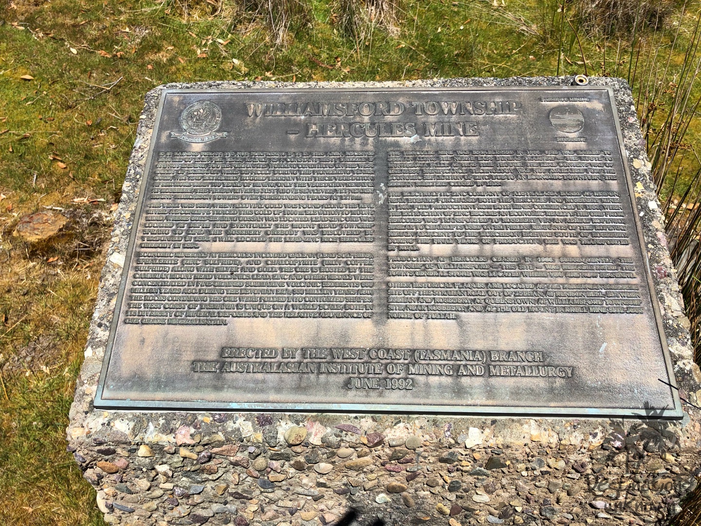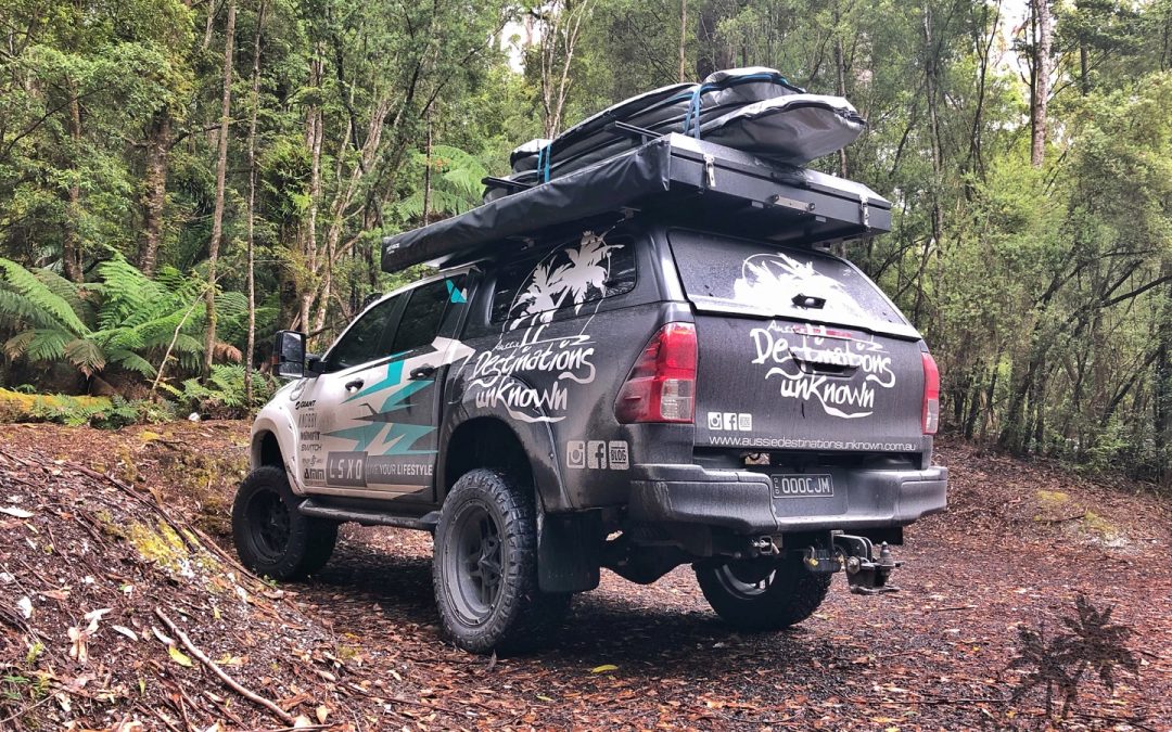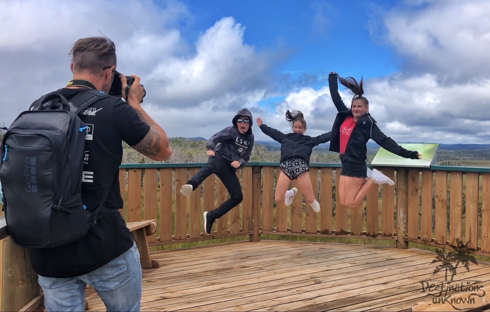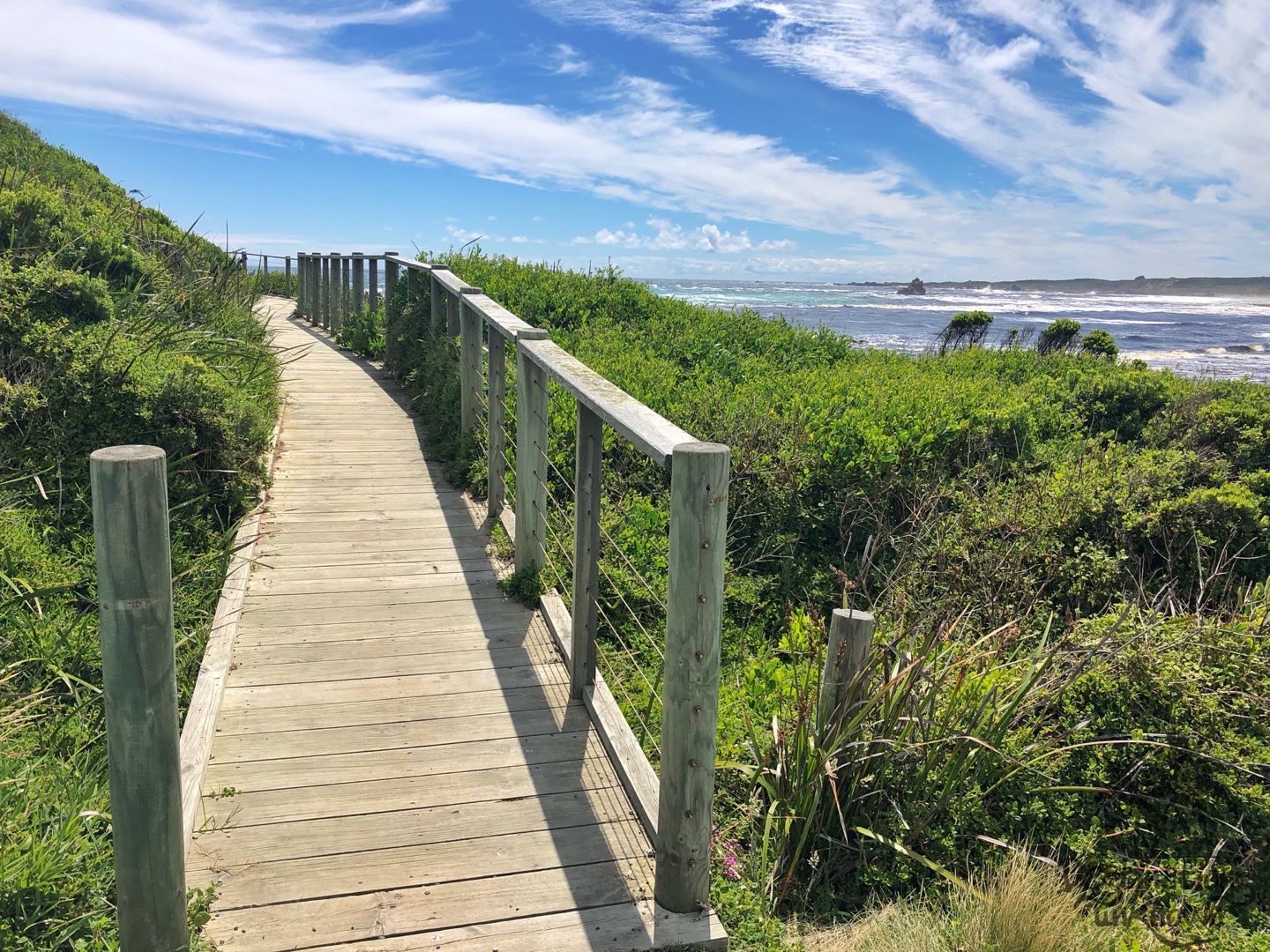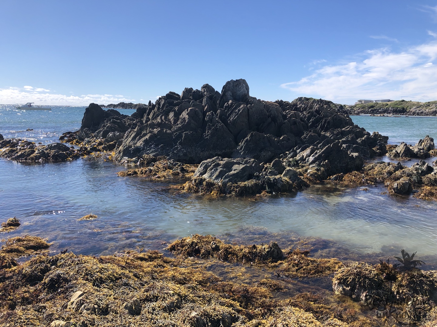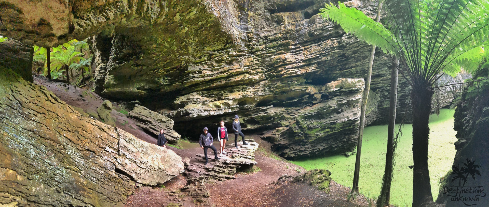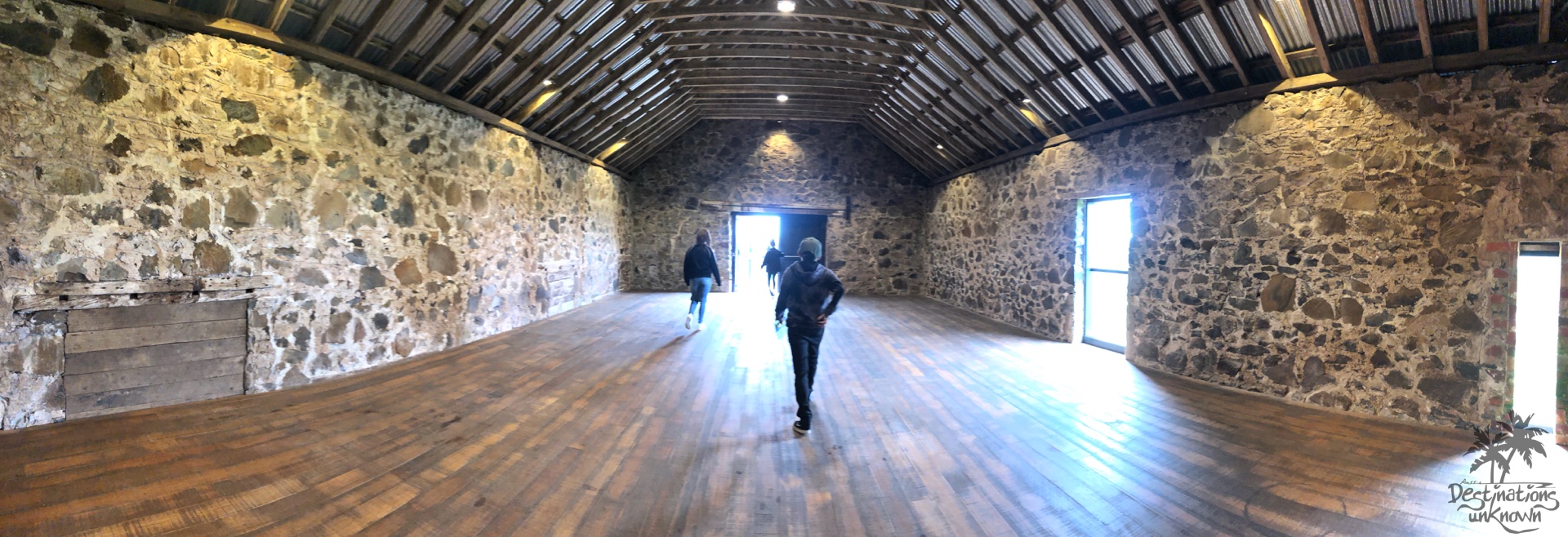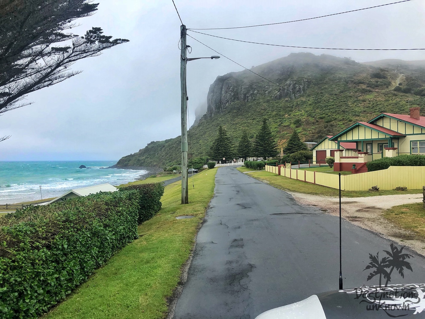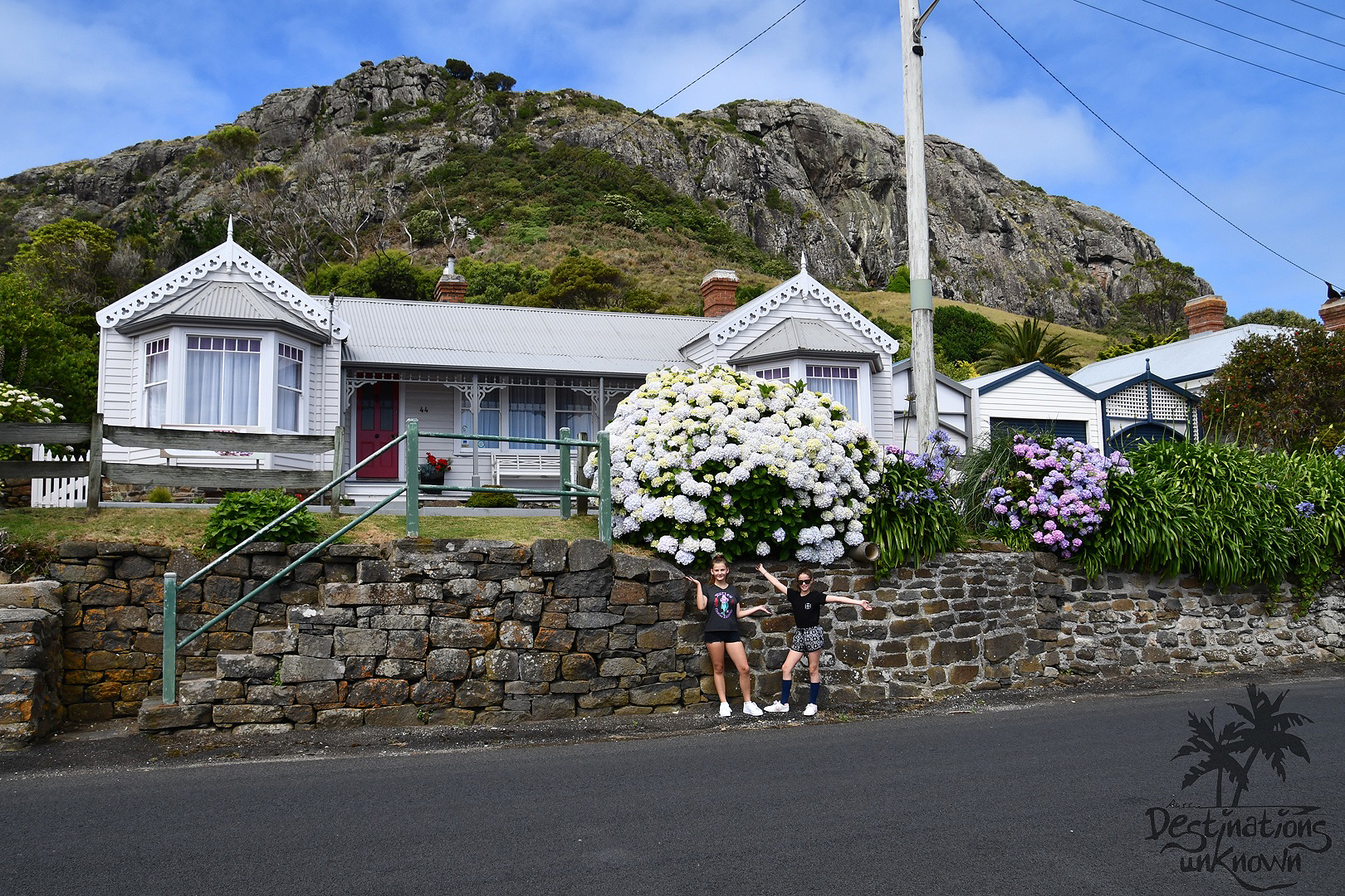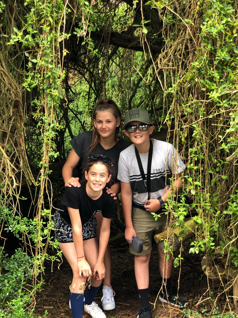
Return to Williamsford
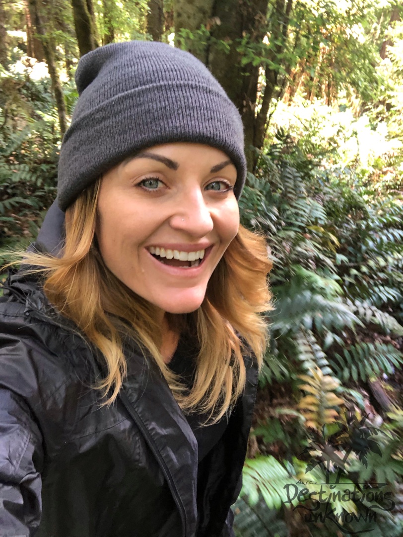
This is a very special post written by my mum, Karen.
Karen Mace
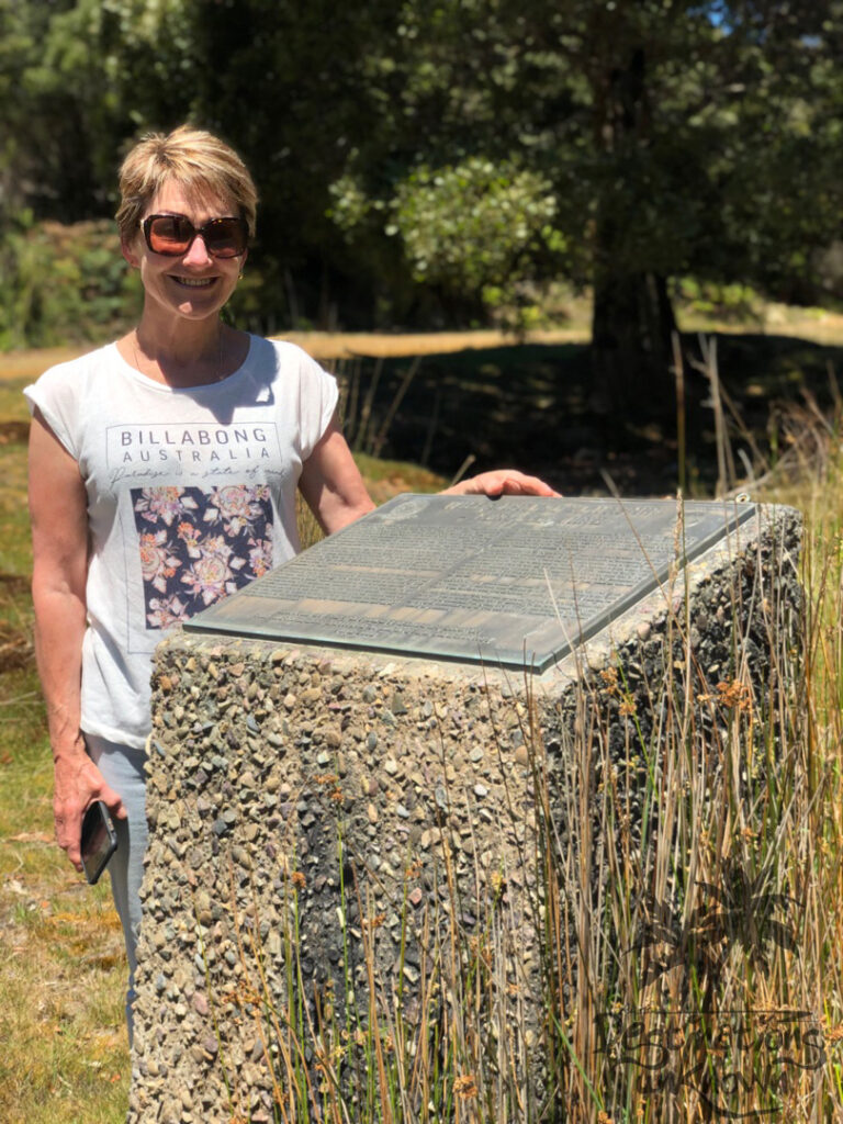
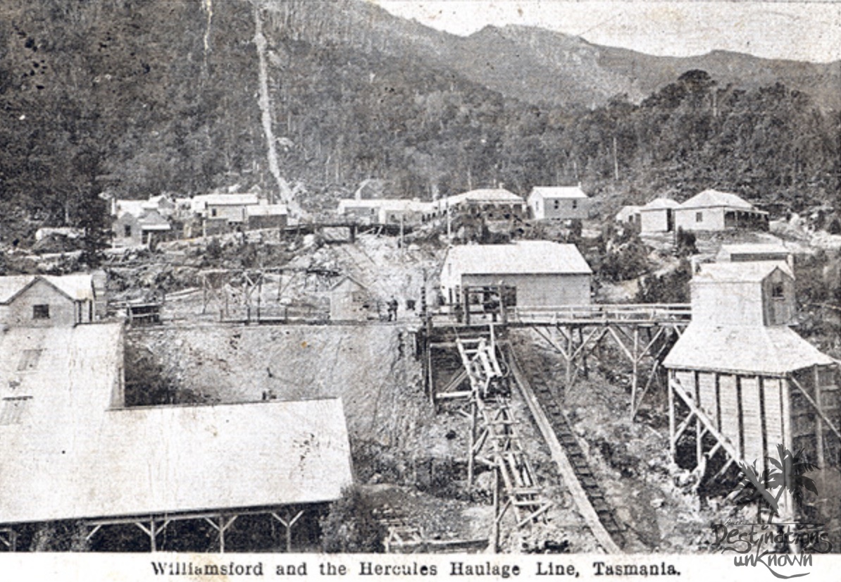
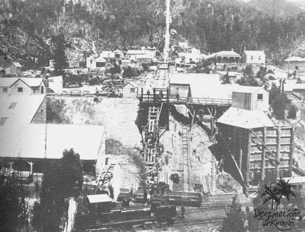
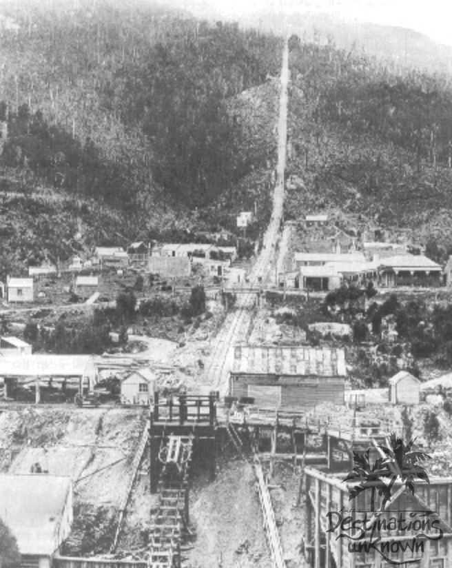
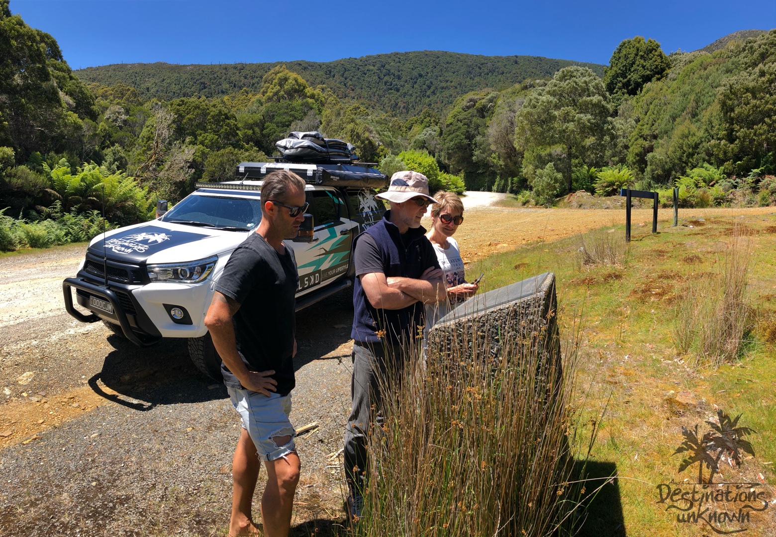
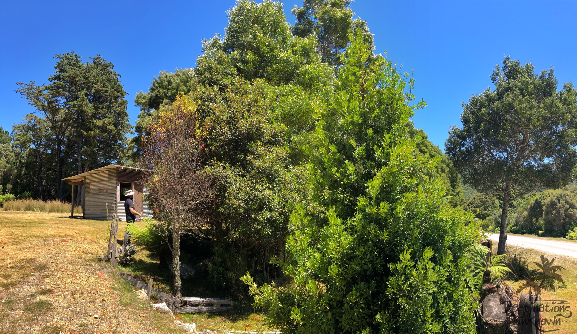
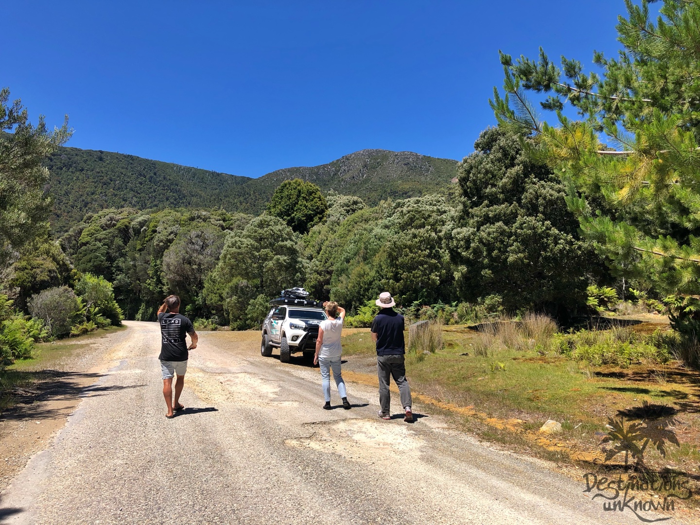
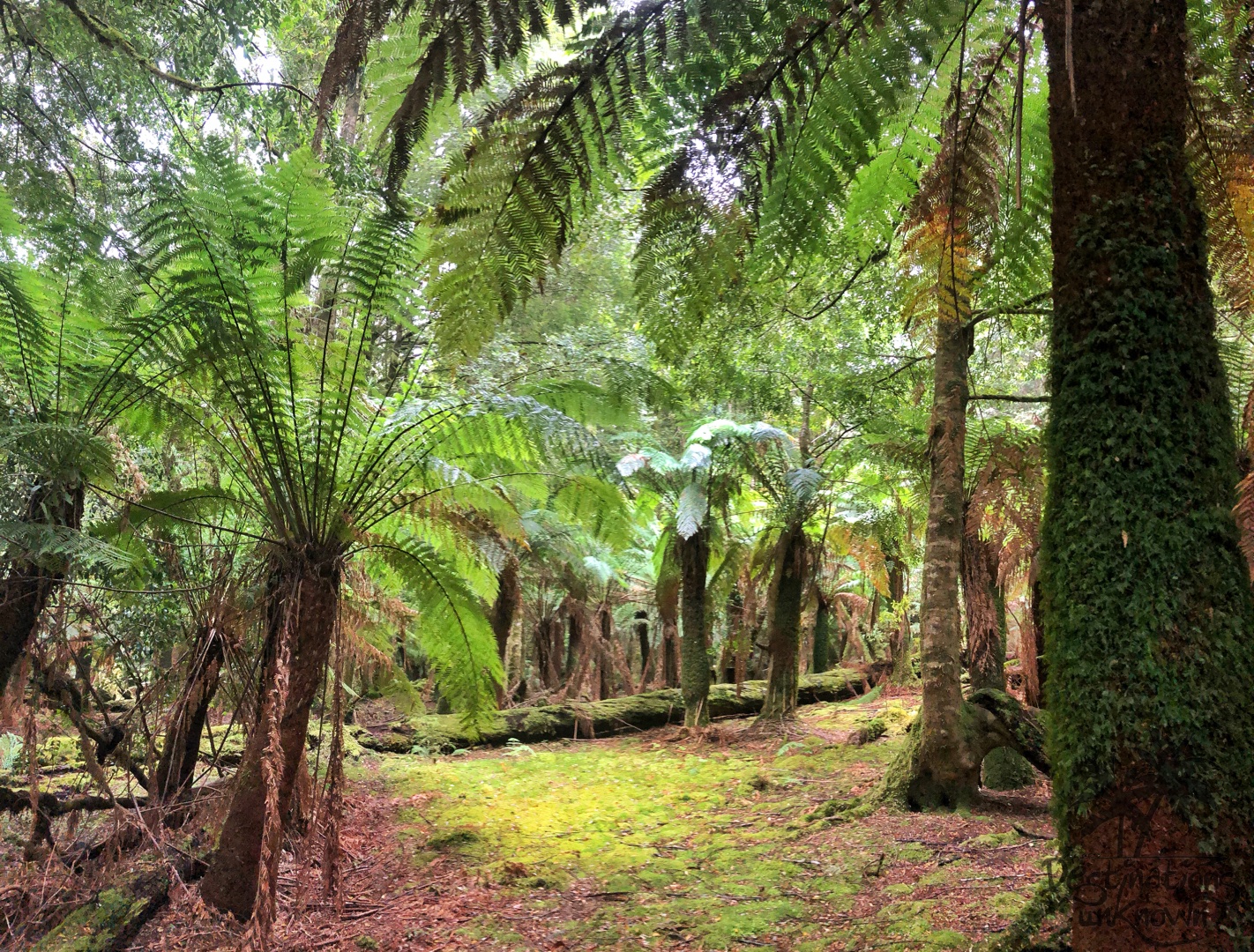
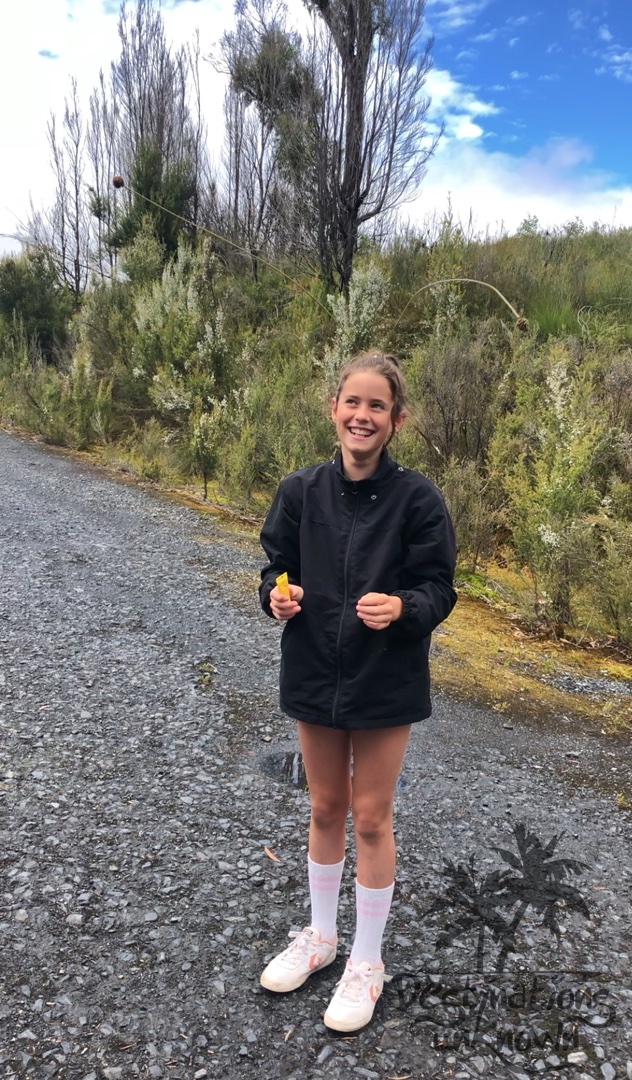
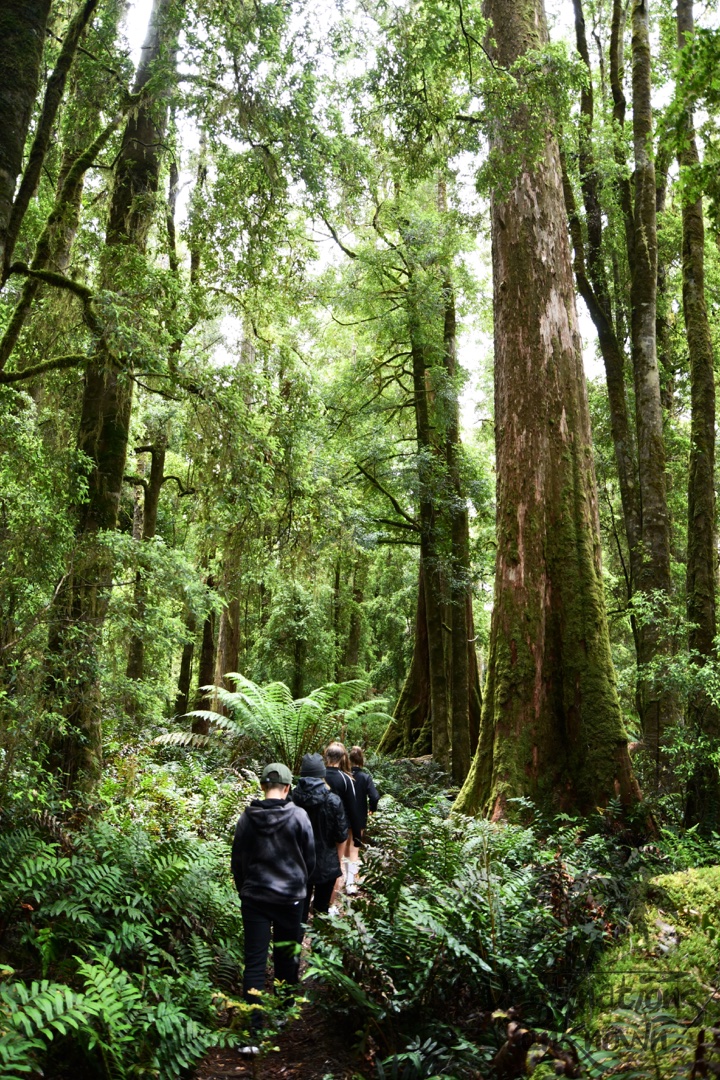
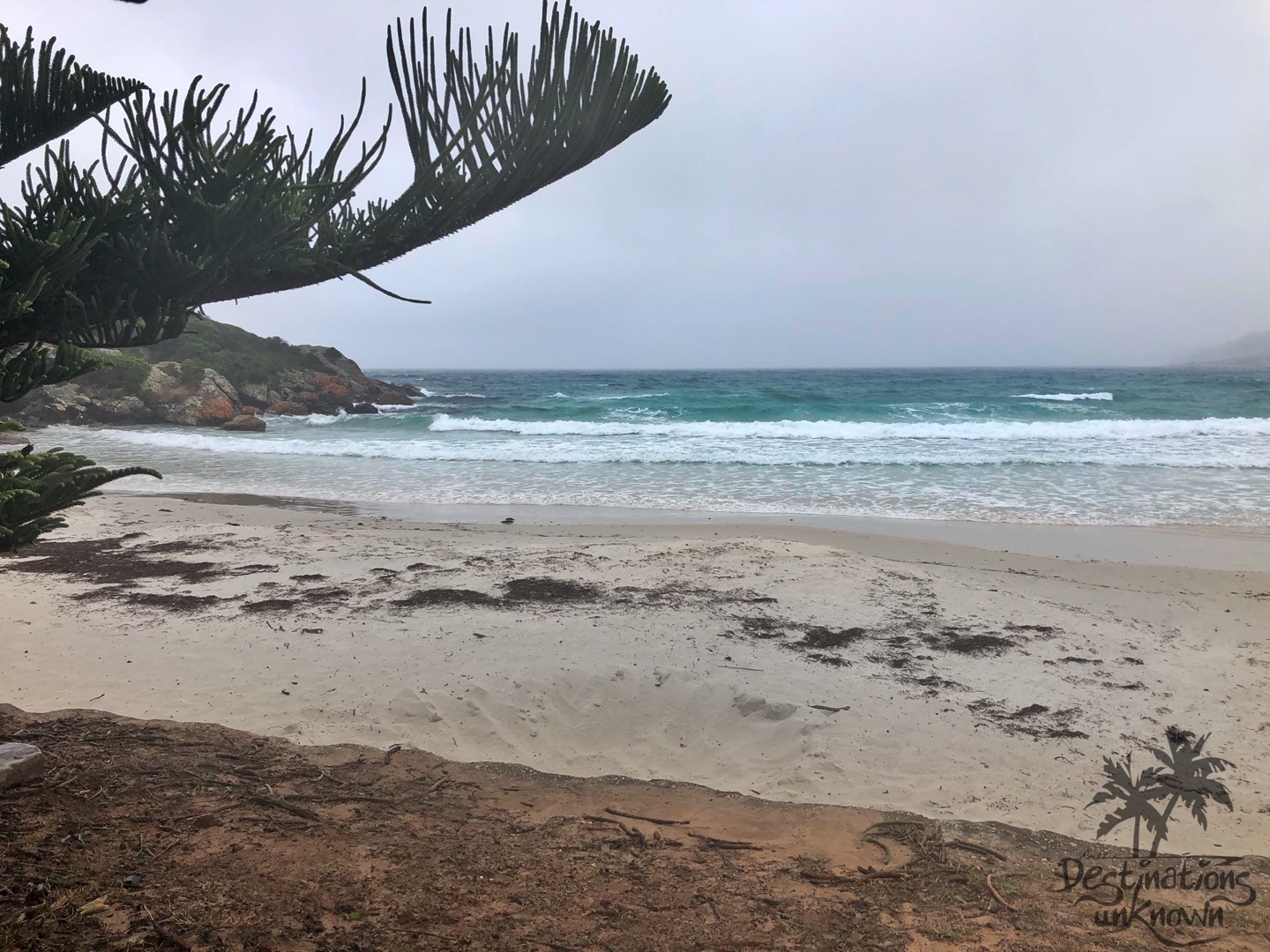
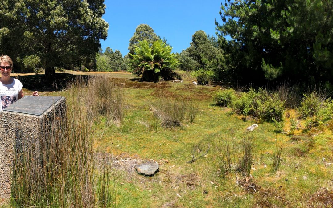
We came to a stop right where the Co-Op used to be, on the corner of the road where our house, well, my grandparent’s house, once stood with a flourishing rhododendron in the front yard and a huge pussy willow tree out back. That pussy willow tree was my haven when I had done something that merited punishment. I was pretty good at shimmying up to where grandma couldn’t reach me. I searched with my eyes and Miriam and I walked around a bit hoping to find some evidence of my life in the once thriving little township but whatever might have been there is now lost in the lovely native bush that has reclaimed pretty much all of where we lived, loved and played.
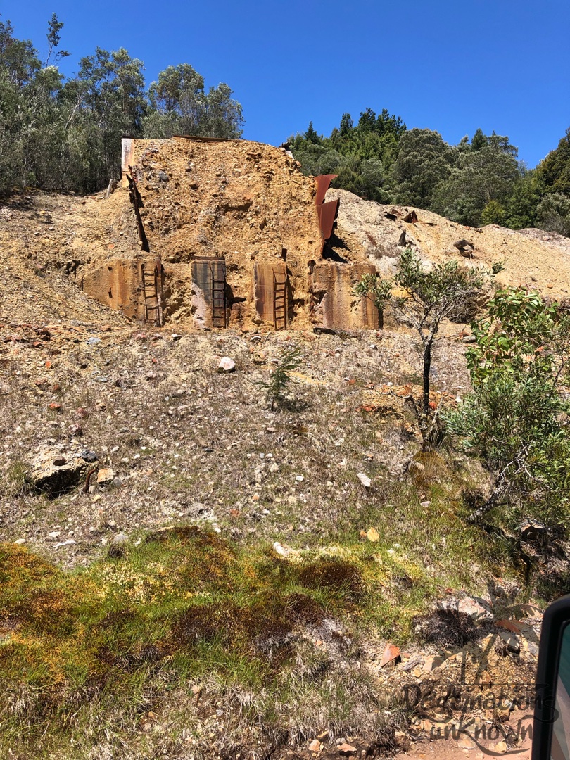
It was an odd feeling being in a place that had so much meaning for me and not being able to see, hear or touch anything that made it special. Across the road from where we stood was where my cousin and I often played happily in a clay patch, but the clay patch didn’t seem to be there anymore. At the beginning of each week grandma ordered our bread for the week and every couple of days, after school, I walked to the Co-Op to pick it up. I remembered fossicking through the rocks surrounding the petrol pumps hoping to find dropped change but even the rocks had disappeared.