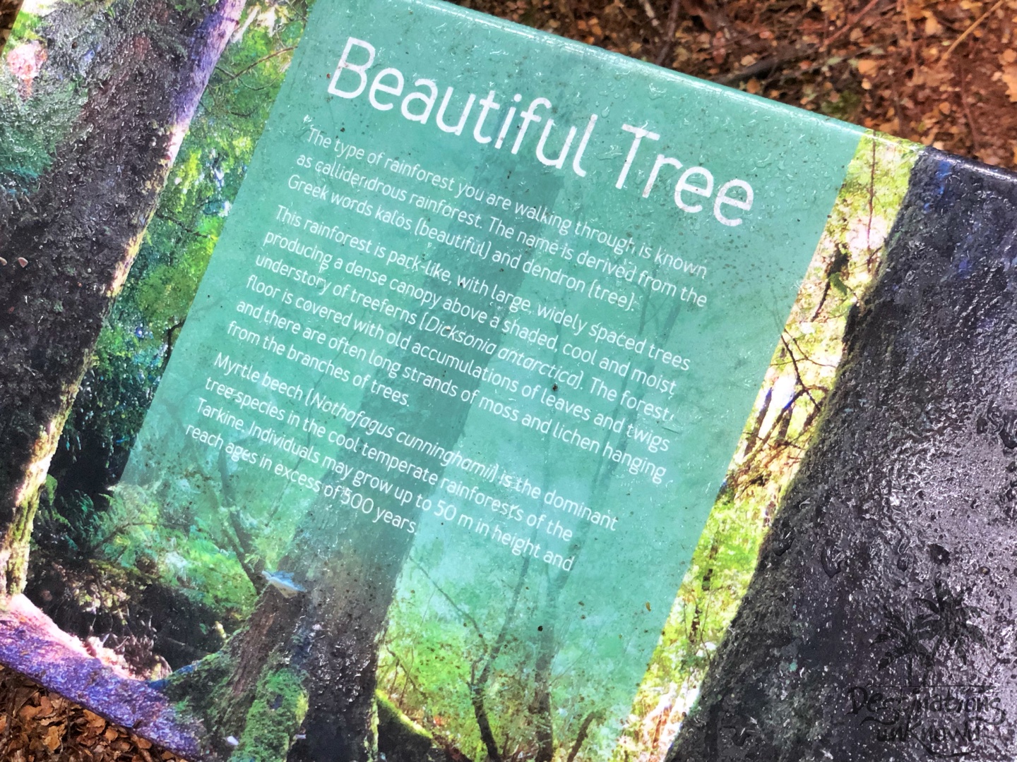
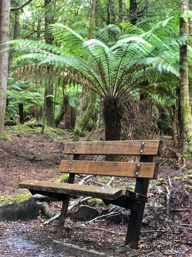
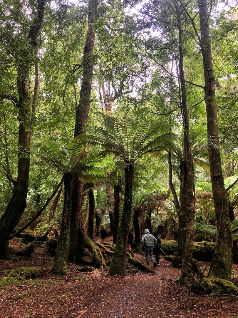
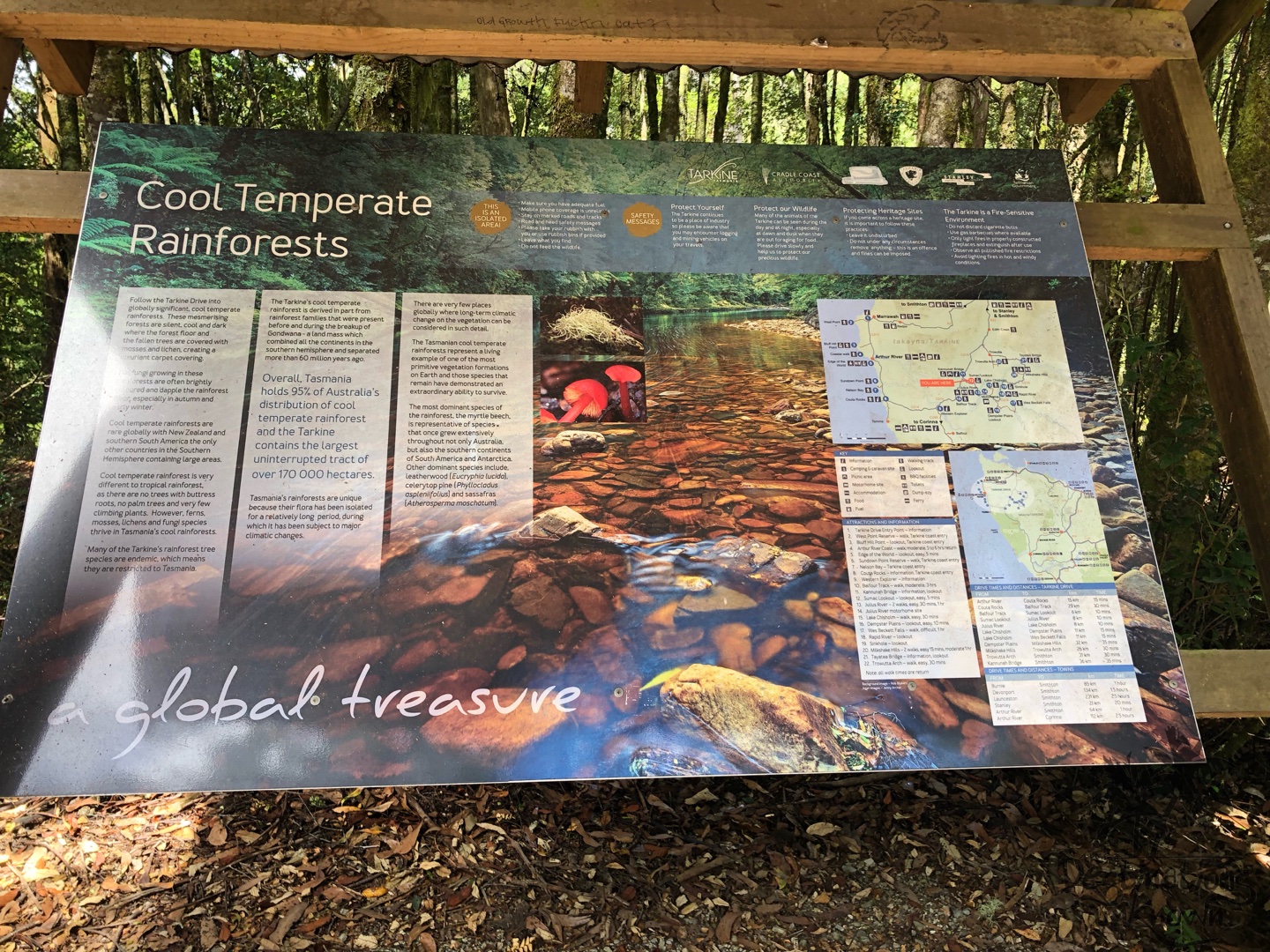
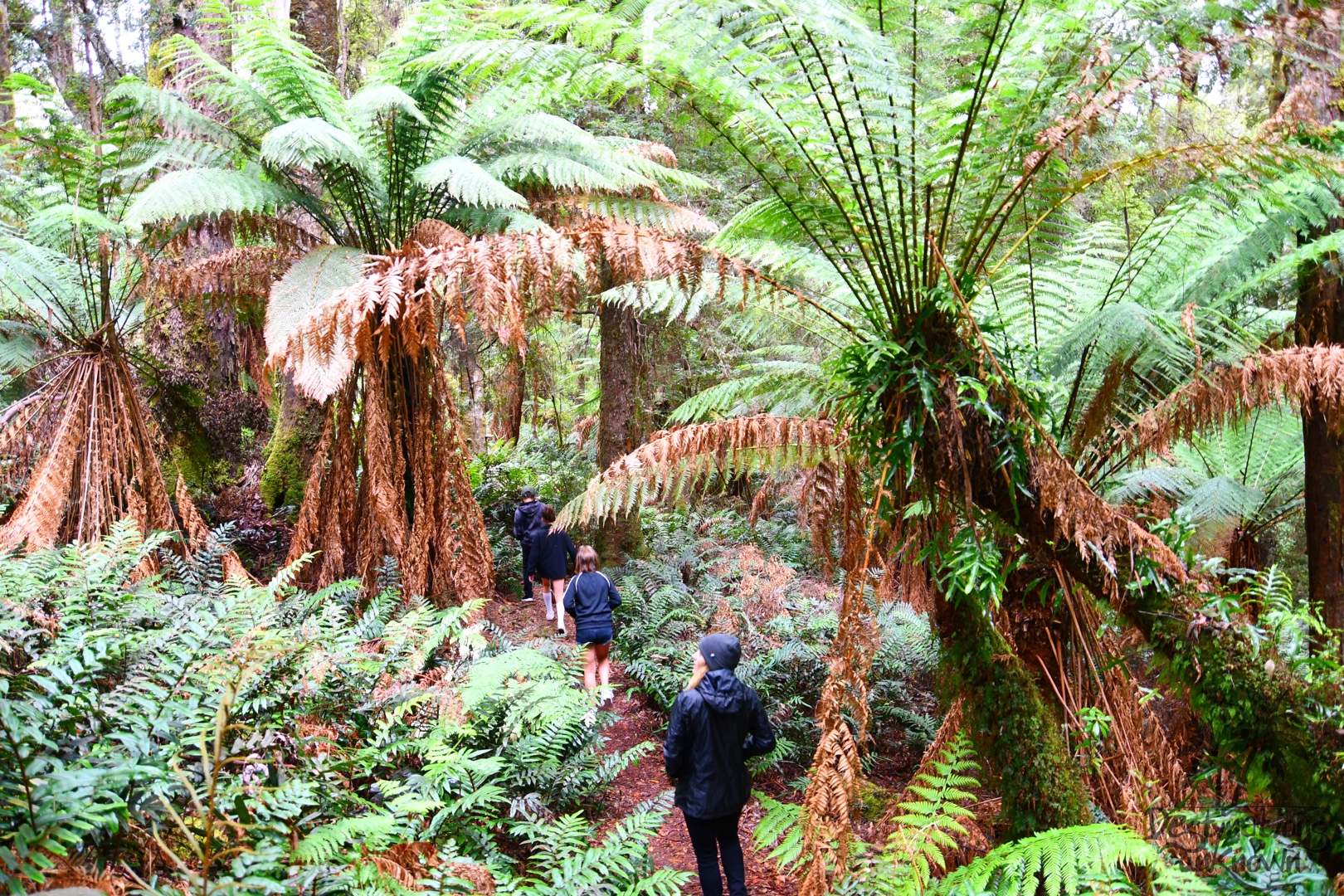
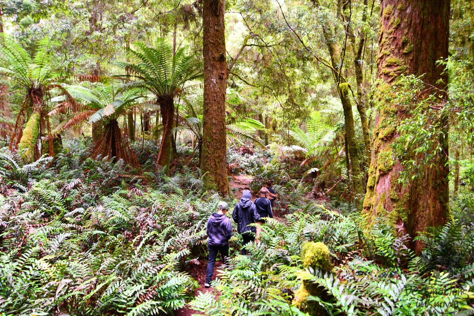
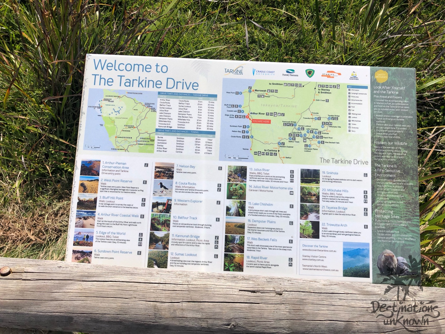
Like many people, I immediately thought ‘rainforest’ when thinking about the Tarkine, but as we soon discovered there is so much more to explore!
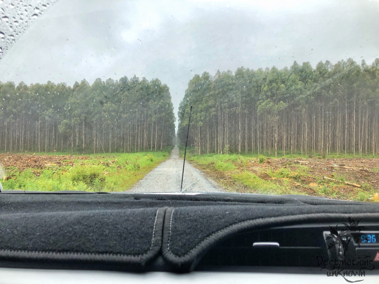
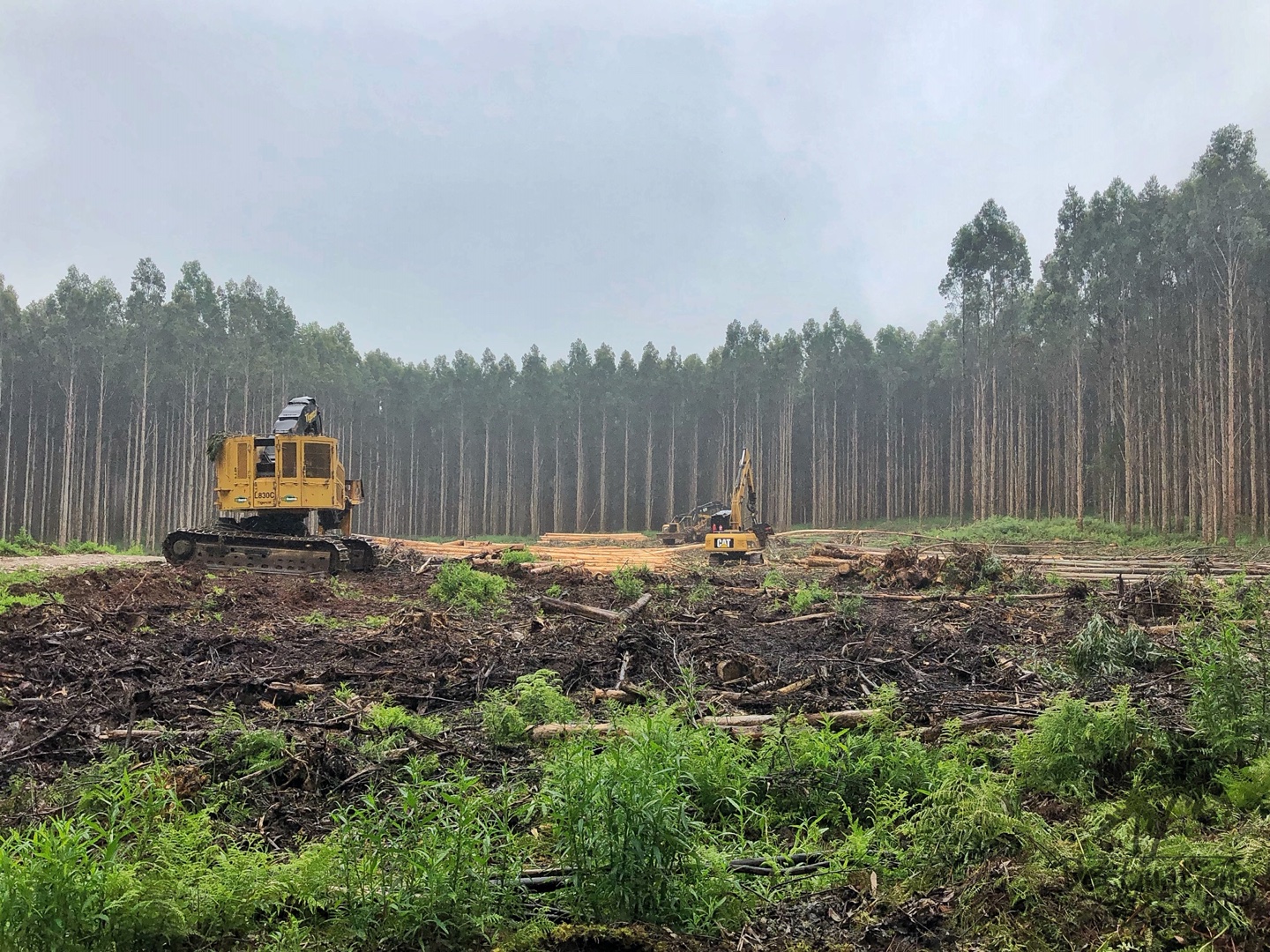
We continued driving through the drizzling rain, following the brown and white signs saying ‘Tarkine Drive’ that took us down narrow, windy roads; past heavy machinery bouncing all over the place that were moving and stripping huge trees that had been felled; fields of tall, straight trees and fields of nothing where trees had once stood.
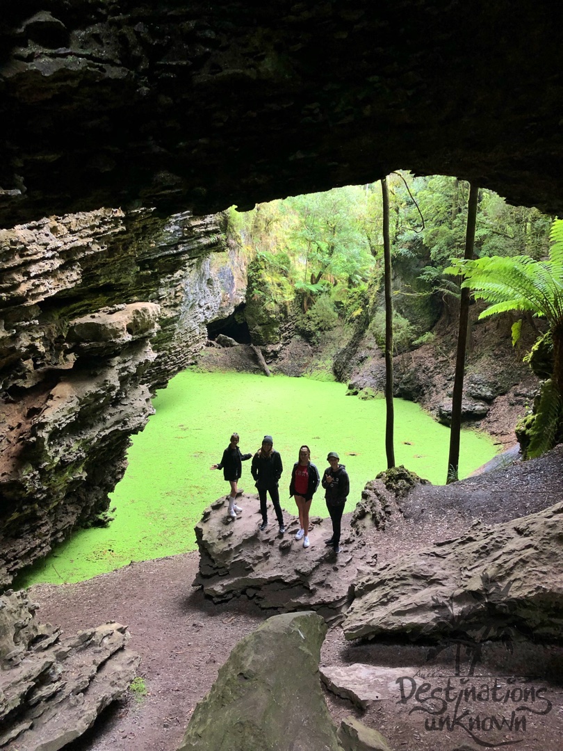
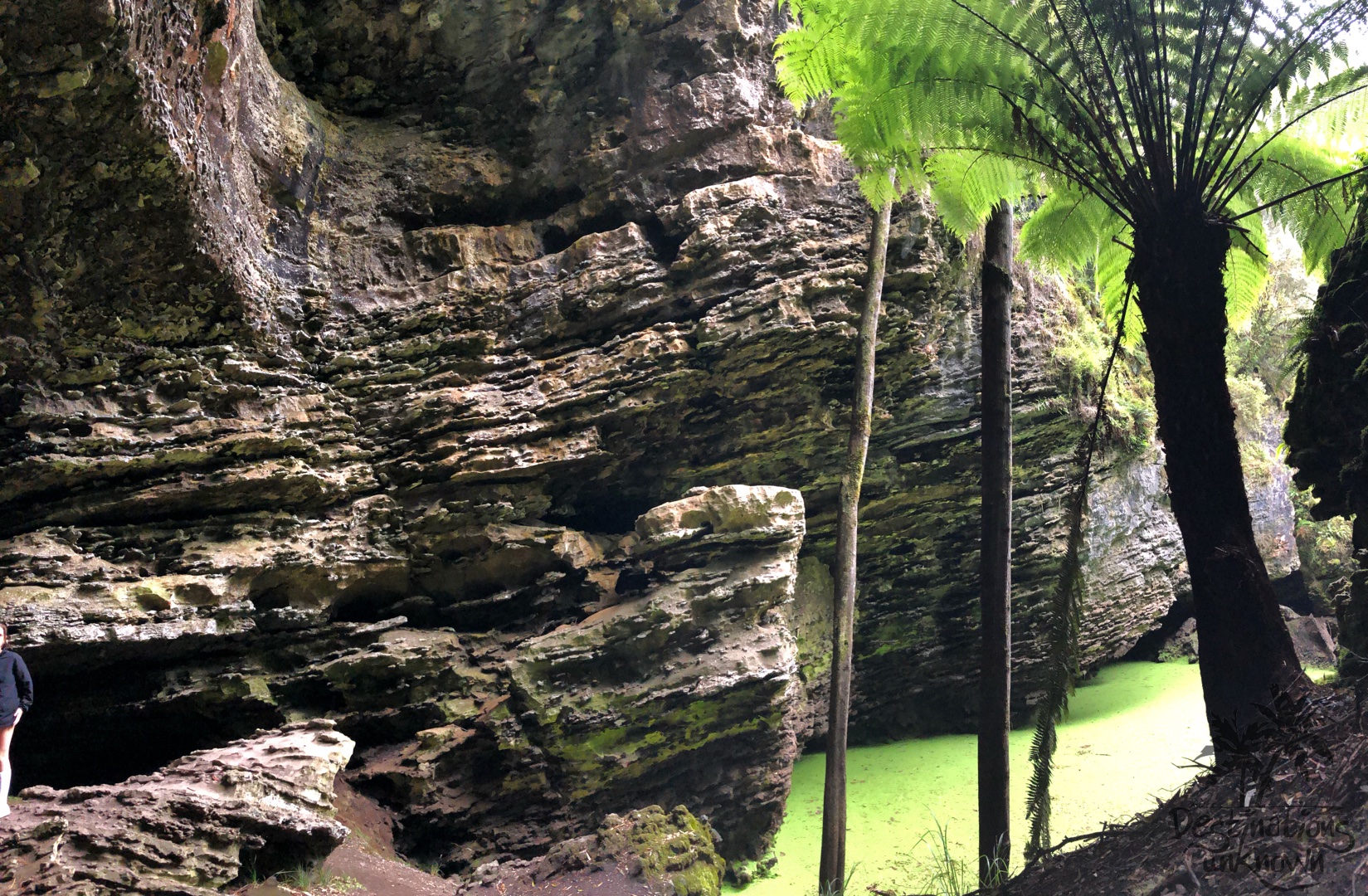
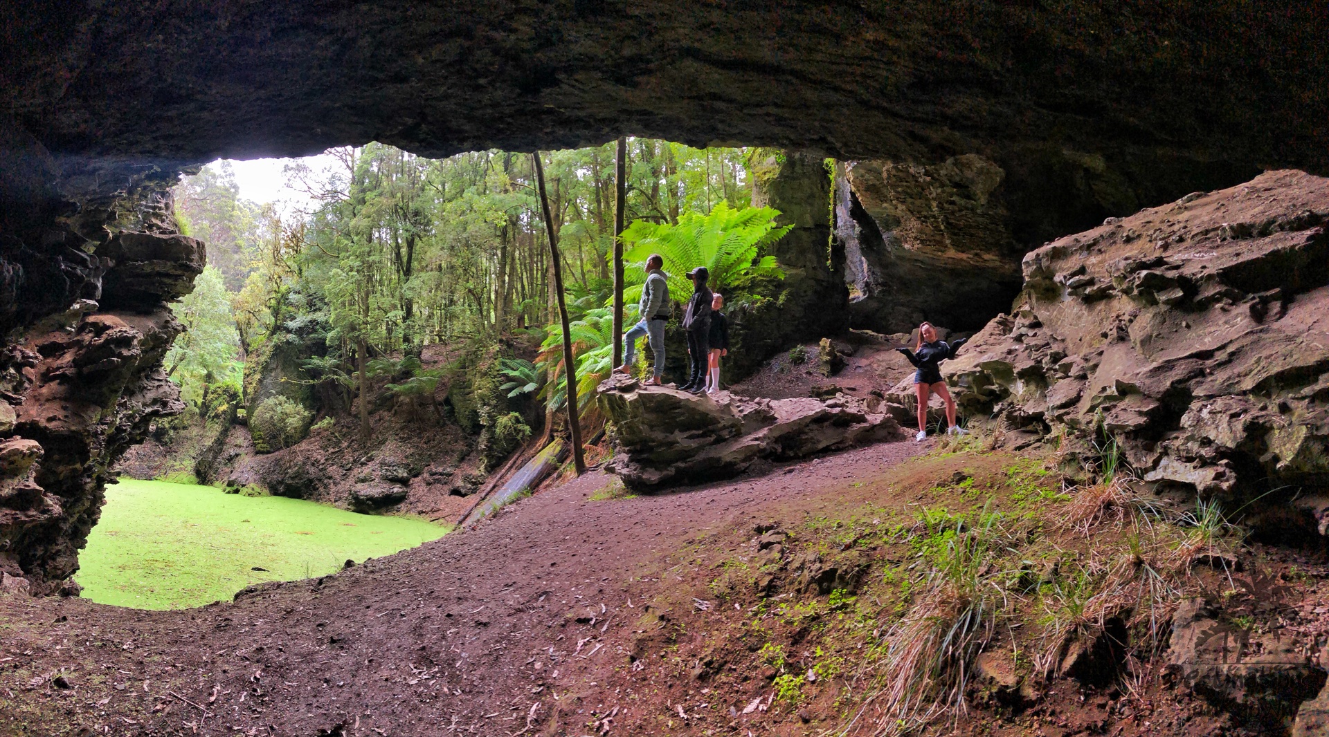
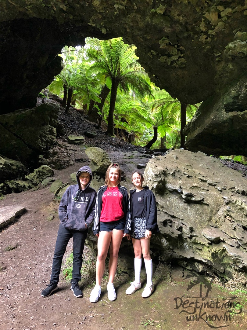
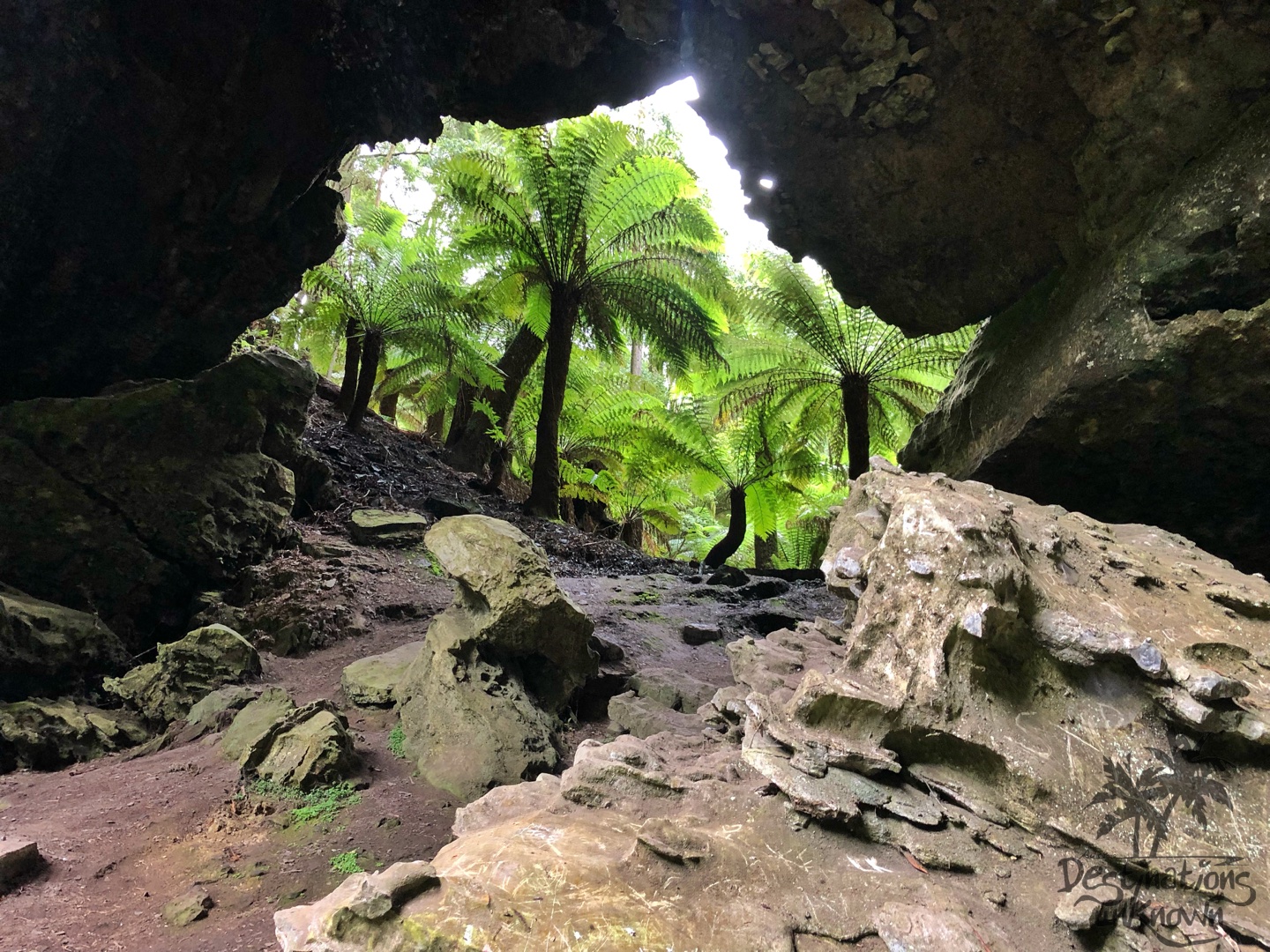
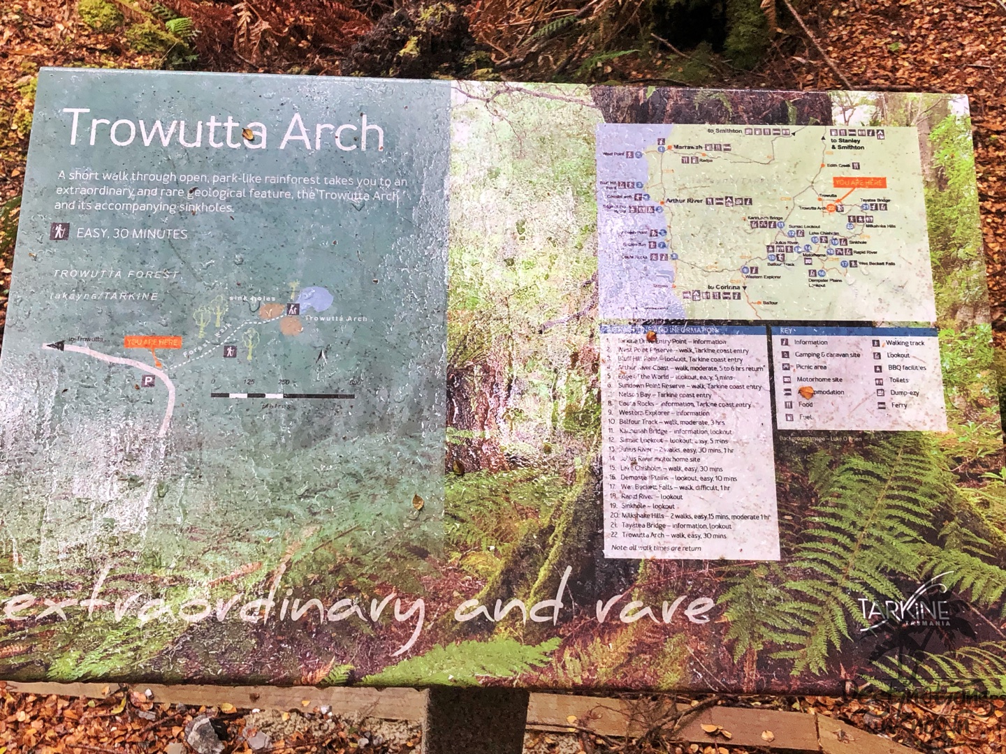
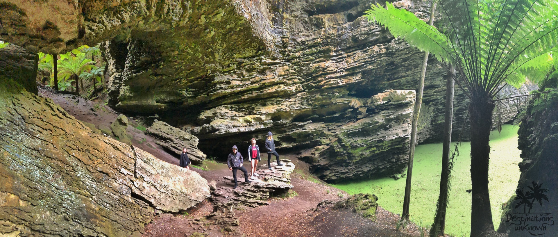
Trowutta Arch
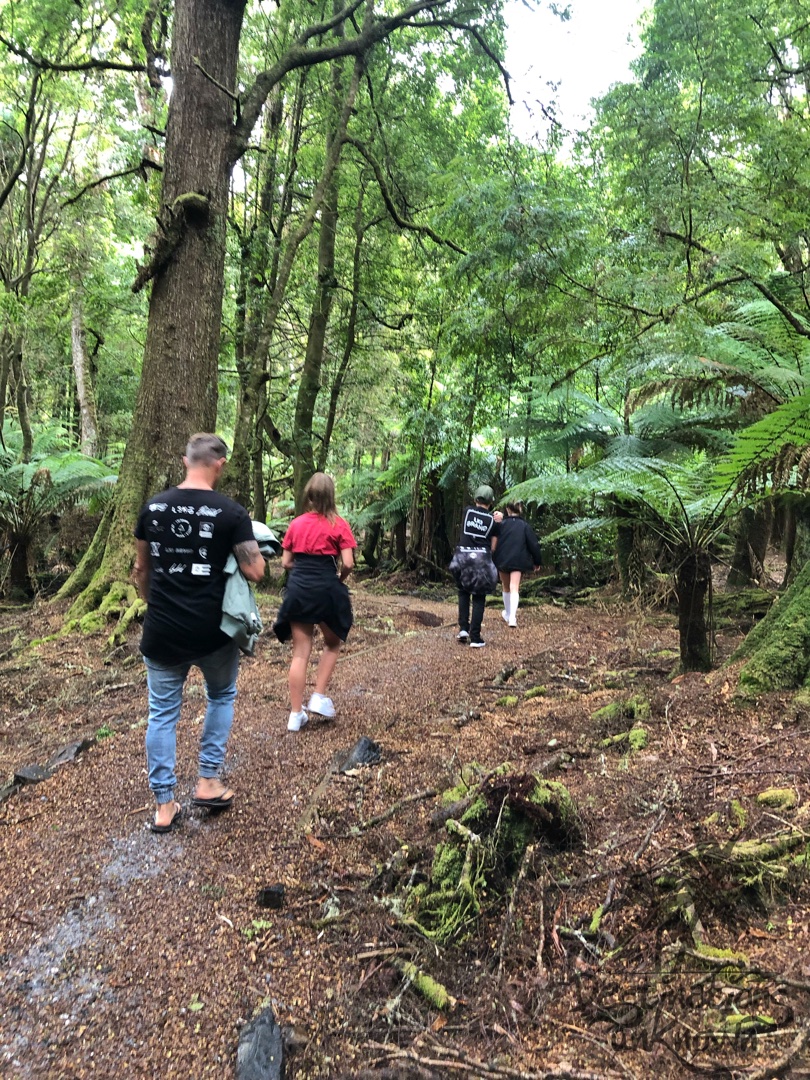
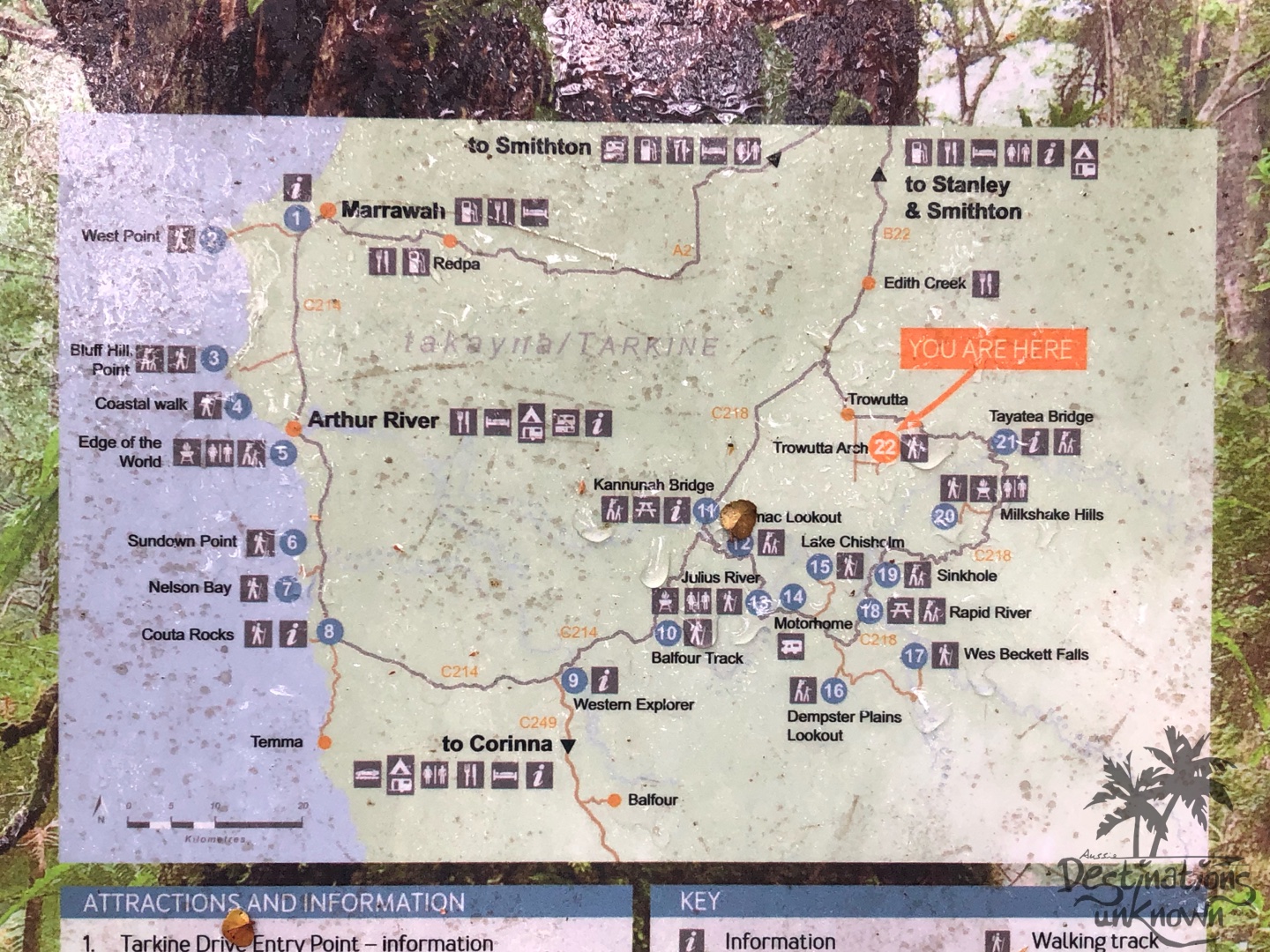
We continued down a dirt road until we ended up in the Trowutta Caves State Reserve at our first stop, ‘The Arch’. It took us 45 minutes to get to The Arch from Stanley, and the walk from the carpark was an easy 15 minutes.
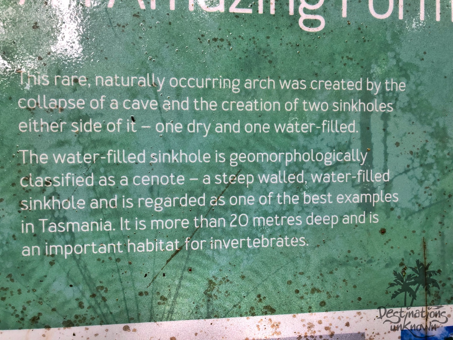
Think faeries and goblins, unicorns’ hooves thudding on the moss covered paths and all things fairytale and you’ve summed up the magical, extraordinary and rare geological feature known as The Trowutta Arch and its accompanying sink holes.
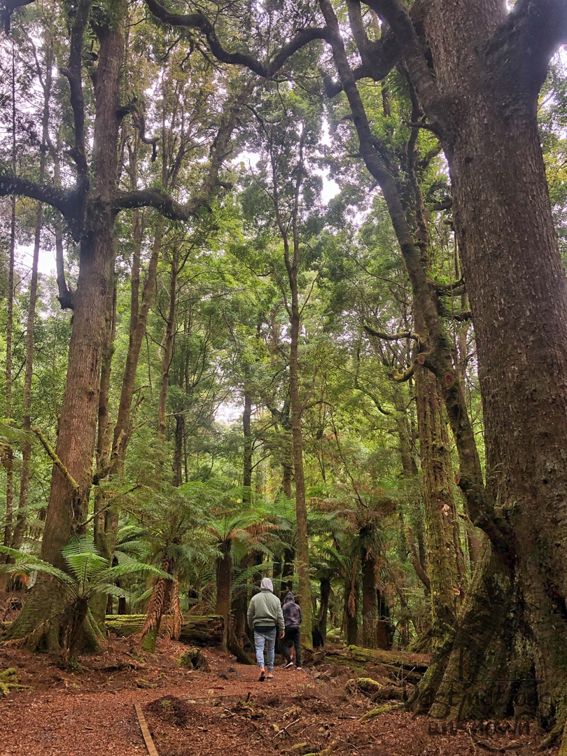
We were not expecting what we walked into … and could hardly believe our eyes. The rainforest walk itself was magical, but when you make your way down that final slope and see the almost fluorescent green water appear with next to no warning, it takes your breath away! I’d seen pictures, but not one of them showed what we were seeing.
Think caves with walls that shimmer and sparkle when lit by torch, huge overhanging rocks and a pool of water covered in bright green moss.
Chris climbed up and around and said he saw another sink hole over and beyond … wow. The kids were impressed and so were we.
What a fantastic way to start the day! Excitedly, we all headed back to the car ready for whatever magical destination the Tarkine Drive had in store for us next.
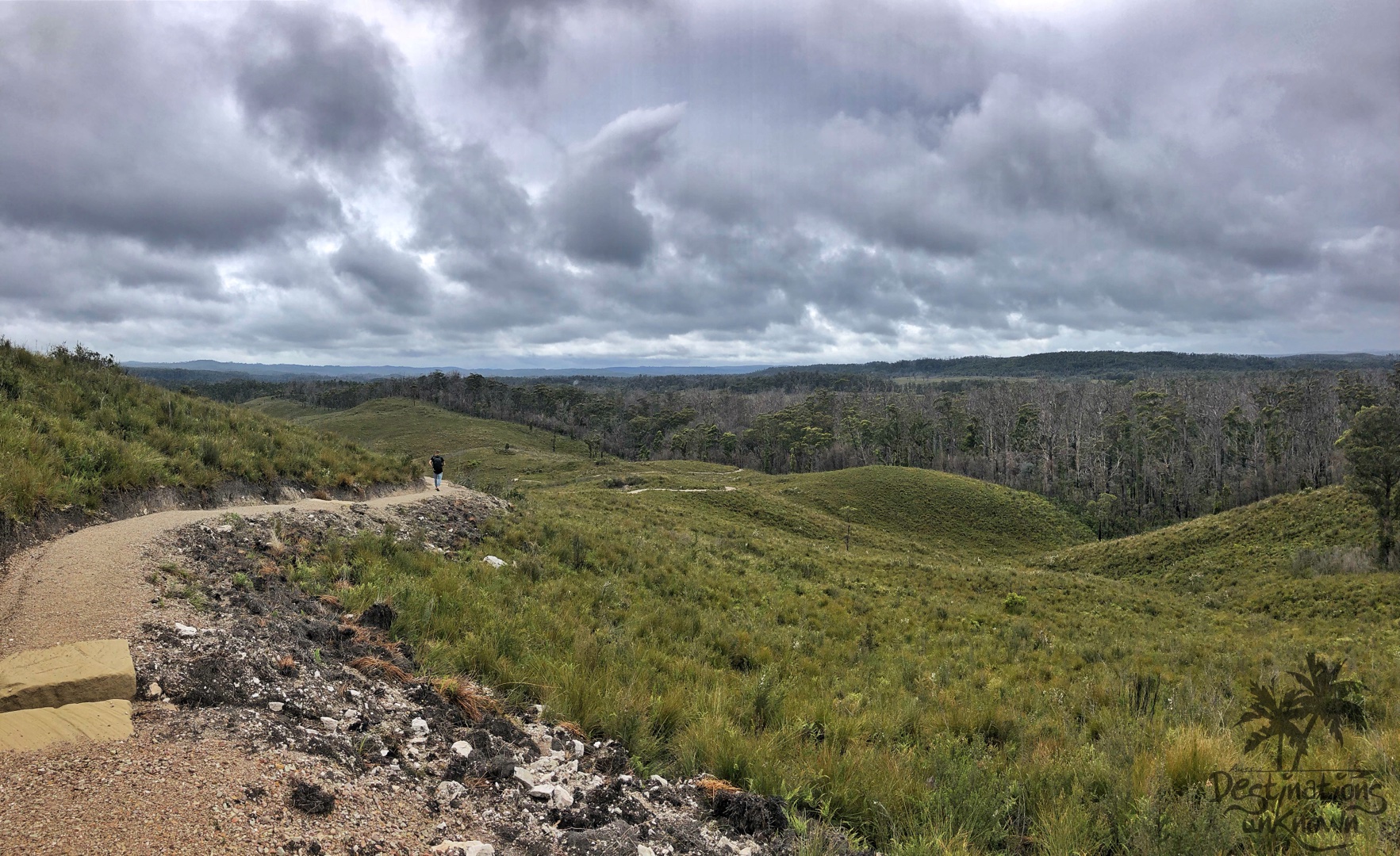
Milkshake Hills
Down some more windy roads, over the Arthur River and up some winding hills we went until we arrived at ‘Milkshake Hills’. Needless to say, the kids were excited about this one!
We drove in past a huge log with what looked like ‘MILKSHAKES FOREST RESERVE’ engraved on it and into a small carpark. It was still drizzling and a bit chilly, so we all put jackets on before embarking on the one hour return walk to the top of the Milkshake Hills.
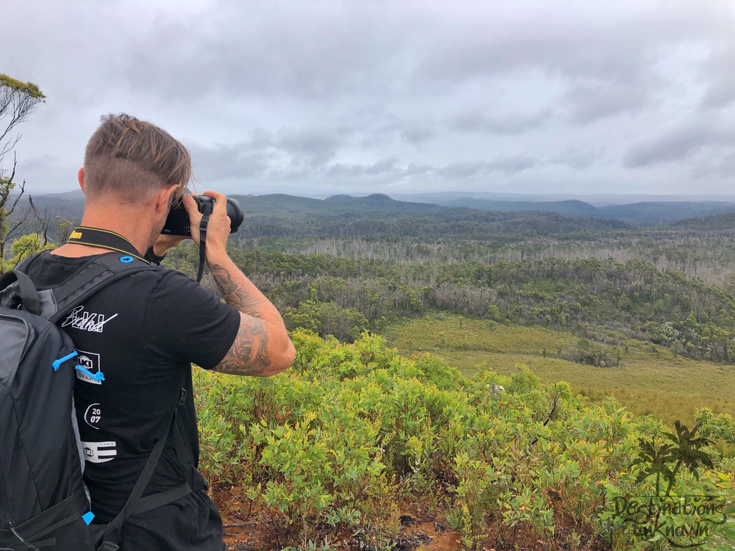
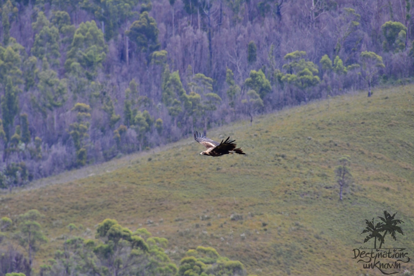
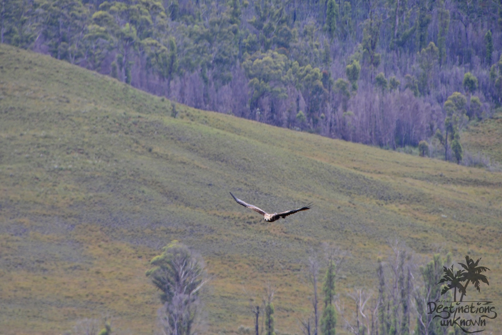
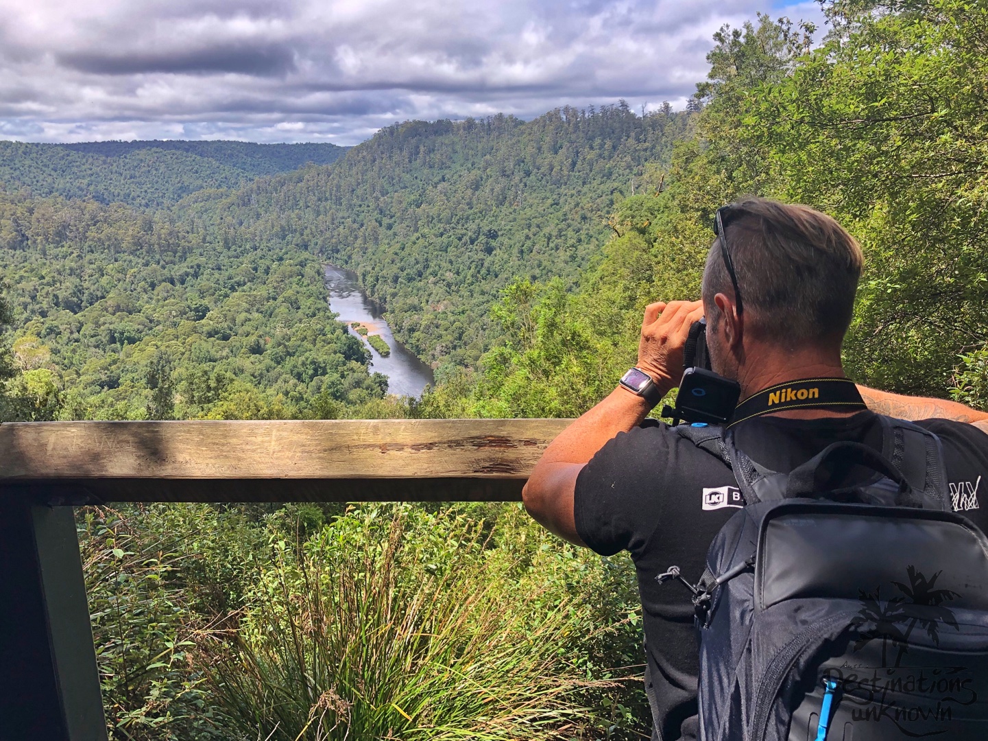
Chris had the Nikon pointed at us and was fiddling with the focus when we all pointed behind him to where a huge Tasmanian Wedgetail Eagle was circling! Magnificent is an understatement. Australia’s largest bird of prey was soaring high on the thermal breeze, barely even flapping his wings. After some time he landed in a tall tree in the distance. These birds stand over a metre tall, weigh up to 5 kilograms and have a wingspan of up to 2.3 metres! These are an endangered species, so we feel extremely lucky to have seen not one, but two of these majestic creatures in the wild.
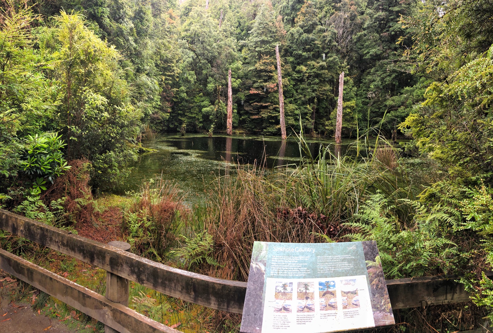
Sinkhole
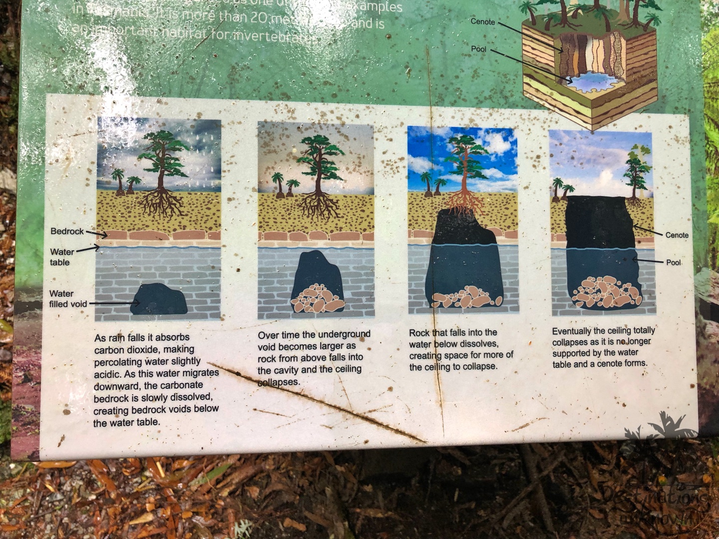
We continued our travels through ‘sinkhole country’ – the Trowutta/Sumac/Black River region. This particular area consists of hundreds of caves, sinkholes and underground drainage systems, and the sinkhole that we pulled up at 35 minutes later forms part of the larger dolomite karst systems of the area.
It was a brief stop – simply pulling over at the side of the road – but it was just lovely. I was the only one who got out of the car and I’m so glad I did! The rain was falling ever so gently onto the water, causing the reflection of the trees to shimmer and dance as the frogs croaked and the water filled sinkhole became the subject of some beautiful memories.

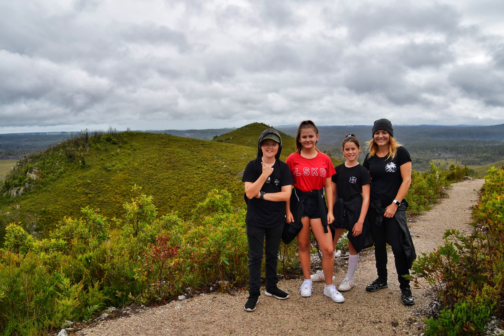
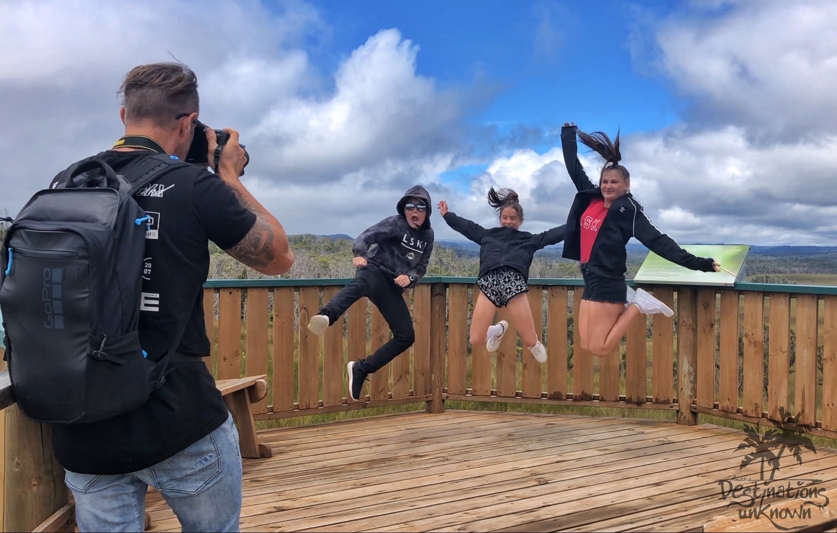
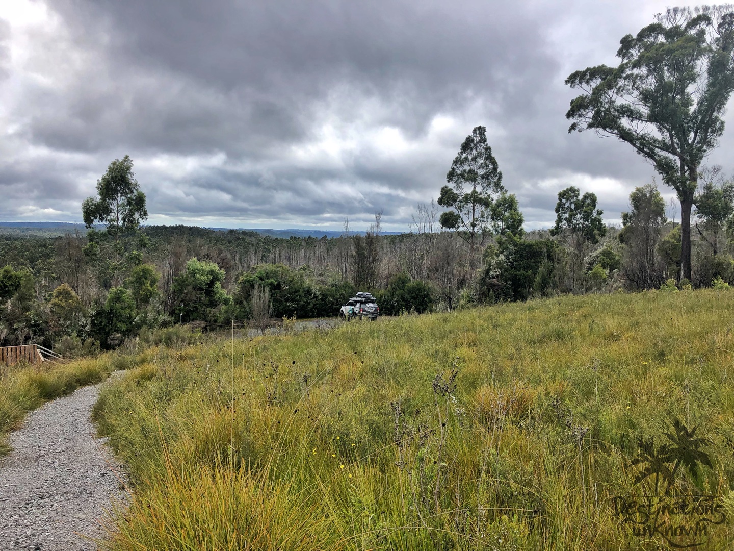
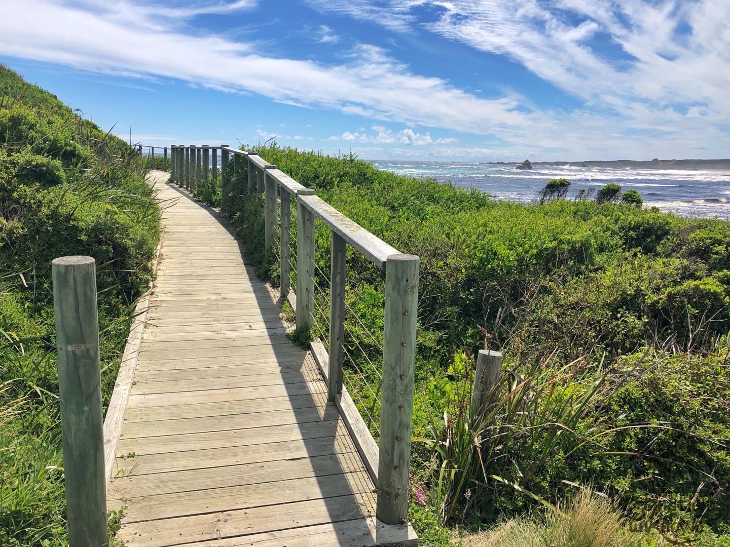
Dempster Lookout
I jumped back in the car for a very short 12 minutes until we arrived at Dempster Lookout.
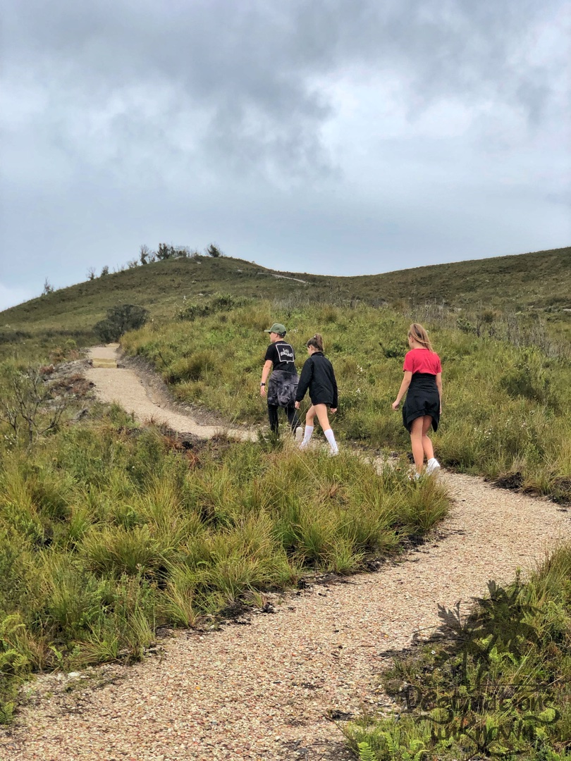
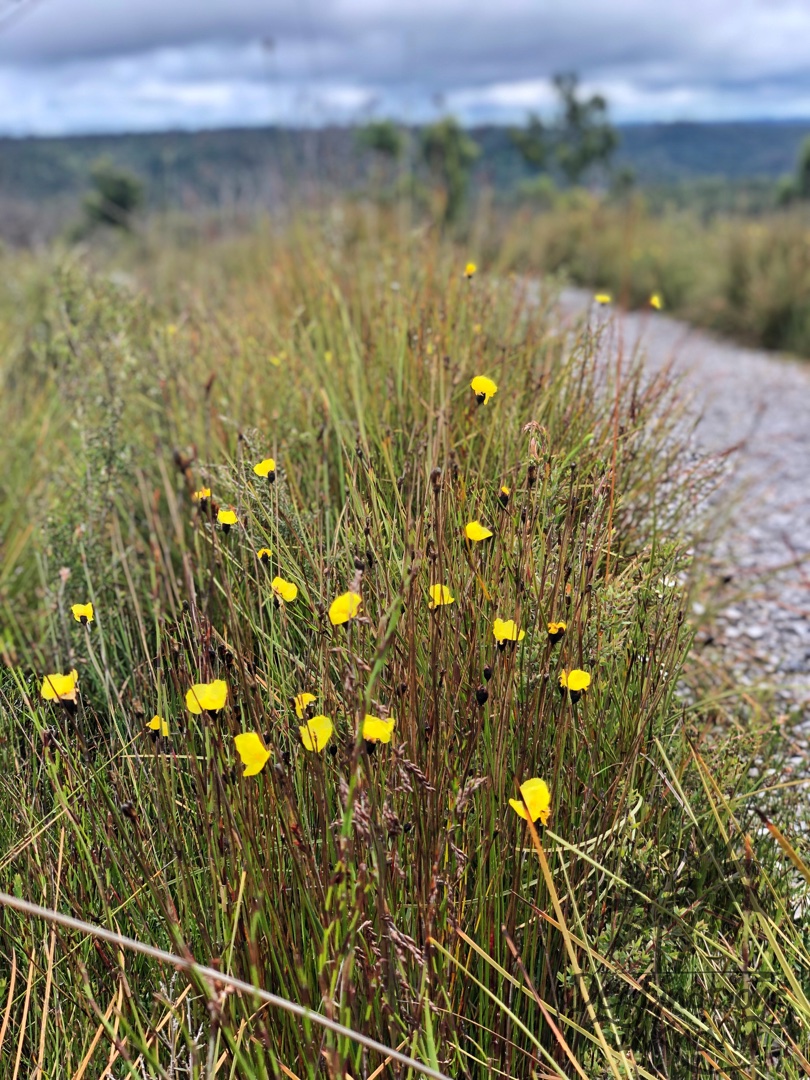
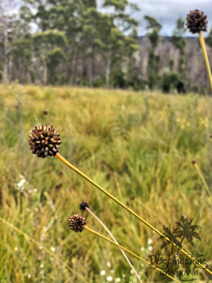
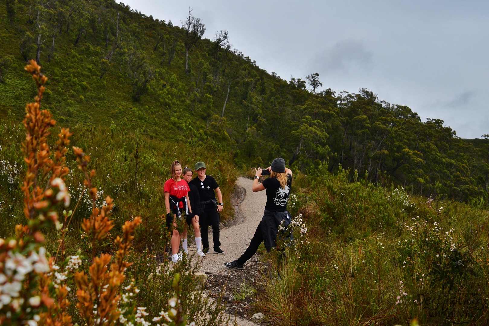
It was smiles all round and a few buttongrass fights between the kids while we explored. 🤪 This scenic spot is a short stroll up a boardwalk lined with long stalks of buttongrass, bright yellow flowers and lush green grass.
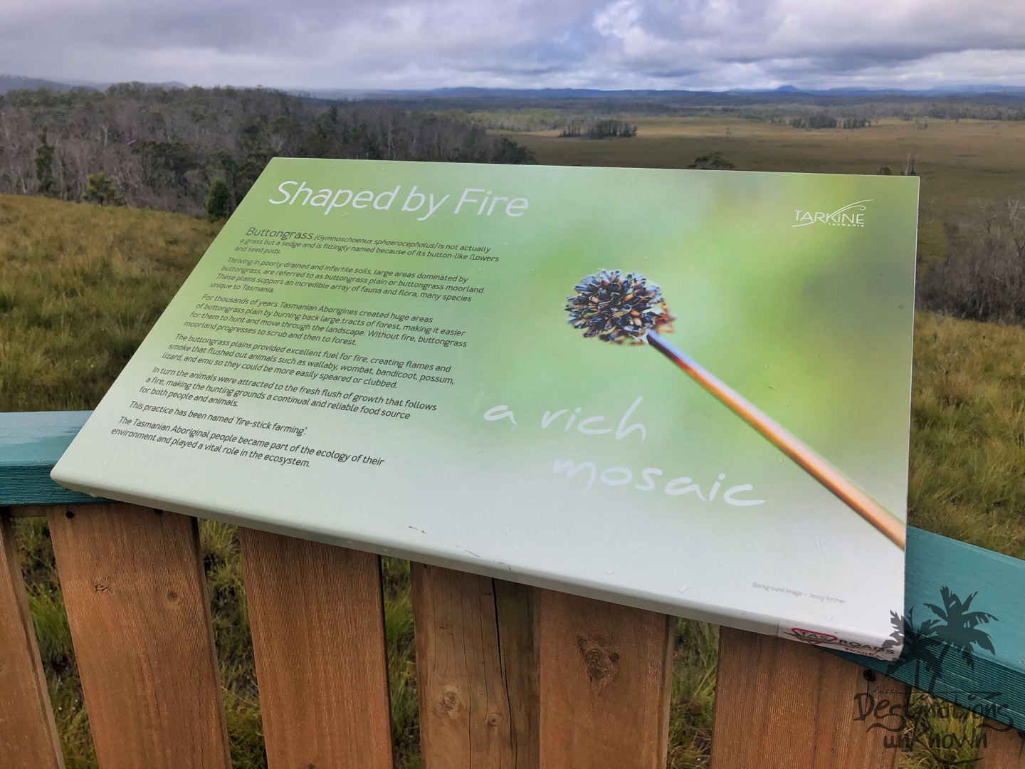
The viewing platform is perched upon a hill looking over buttongrass plains. These plains were created by Tasmanian Aborigines when they burned back large tracts of forest, making it easier for them to hunt and move through the landscape. There are so many Native Tasmanian animals living in these plains … and so many long stalks of buttongrass. Well, minus a few now that Aylah has antennas!
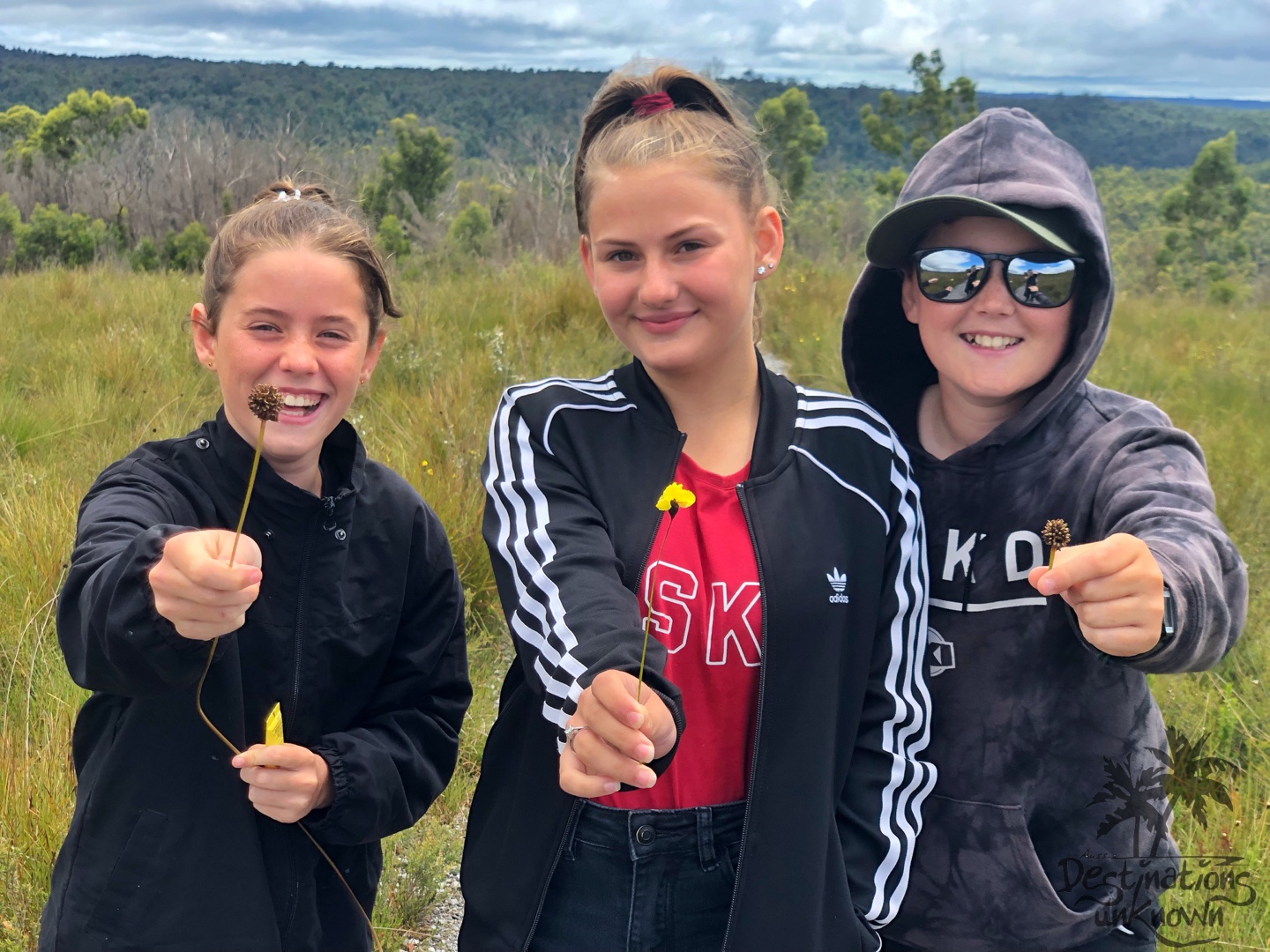
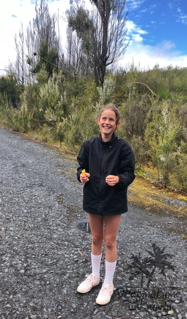
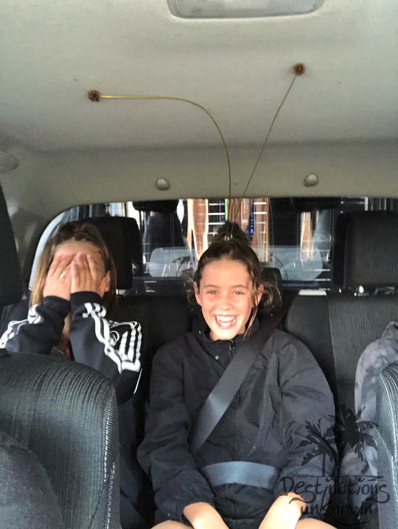
Aylah’s antennas!
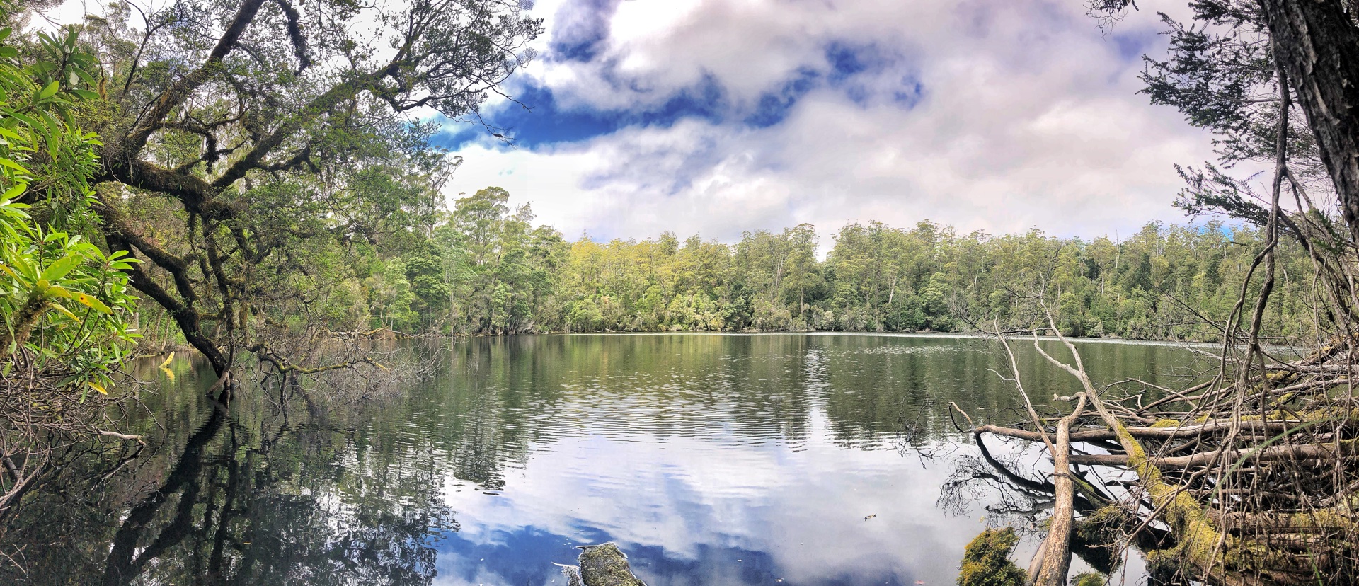
Lake Chisolm
We left Dempster Lookout at 12:45 and by 1:00 we were parked up and walking to Lake Chisolm; another gorgeous water-filled sinkhole.
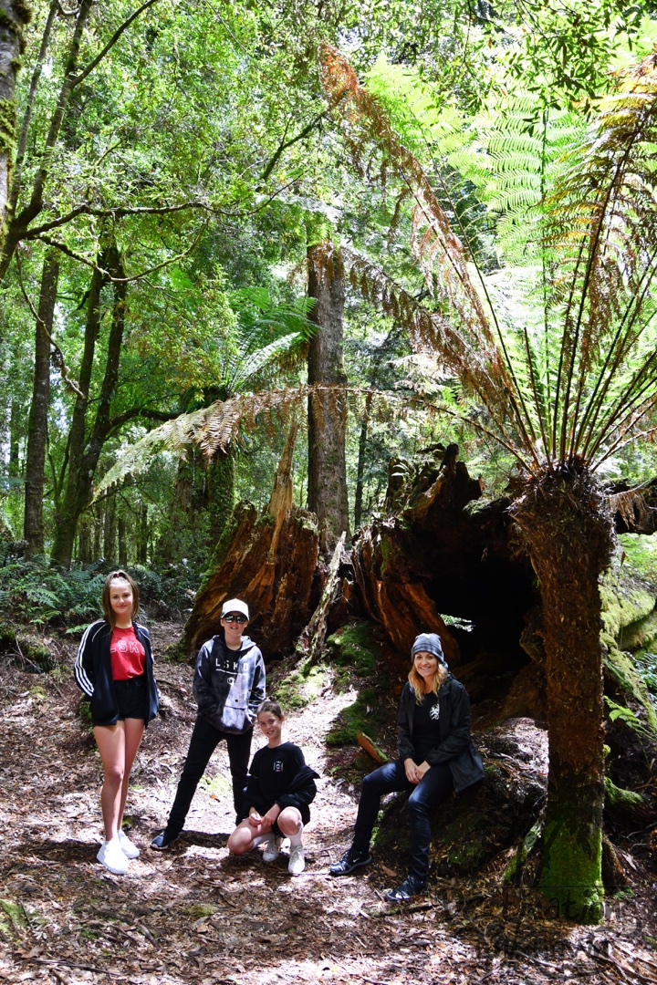
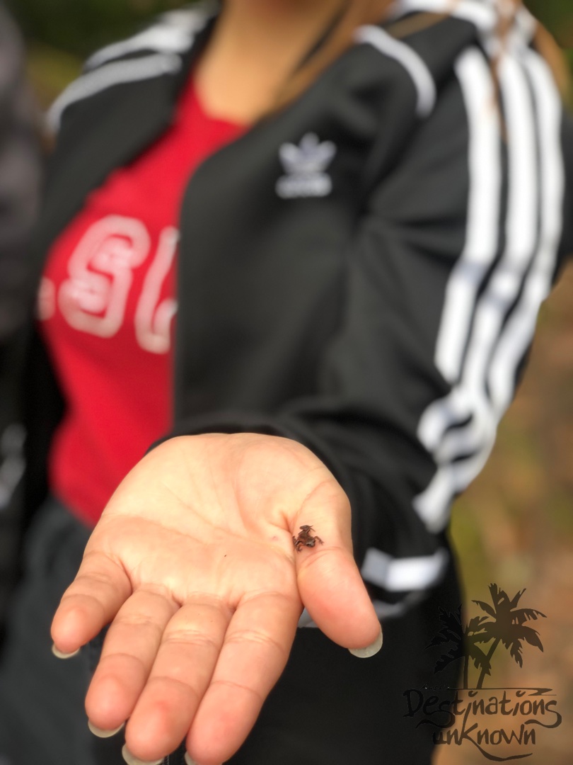
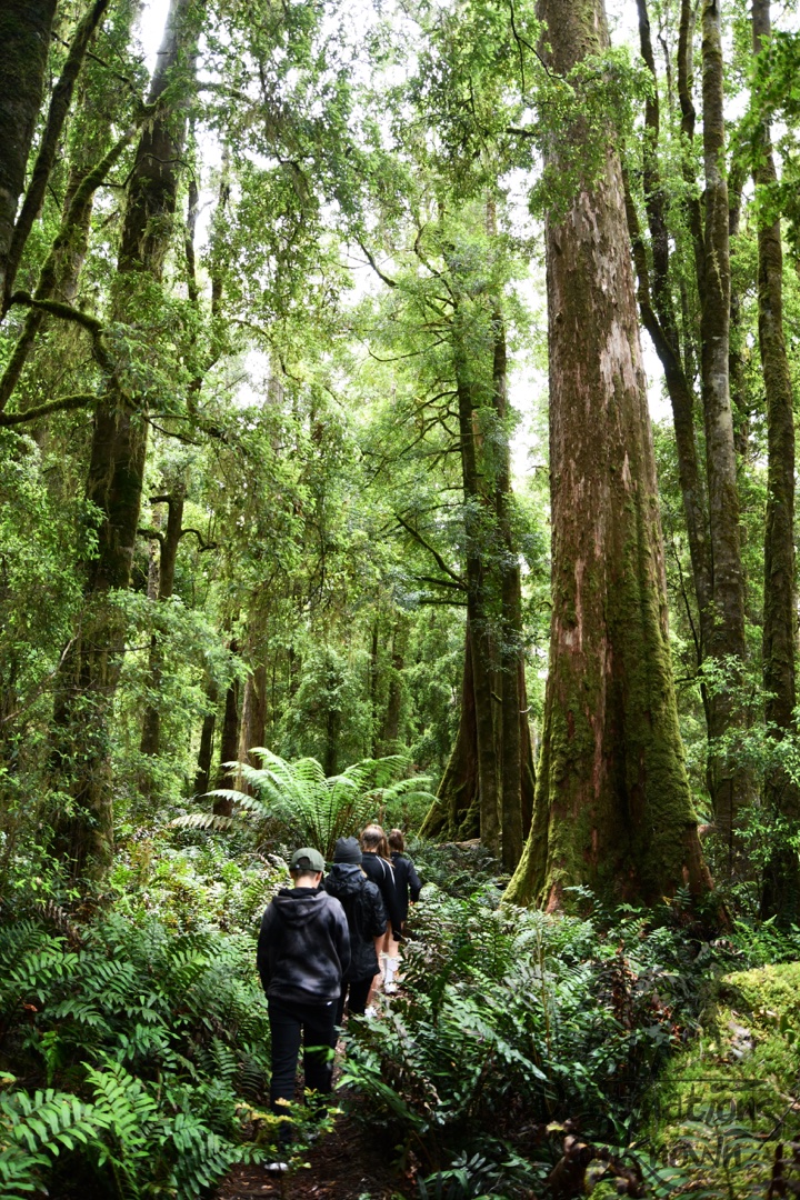
This too was an easy walk that took us less than half an hour and led us through a mixed forest of giant eucalypts and rainforest species until we reached the lake; one of the finest examples of a flooded sinkhole in Australia. Serene and enchanting and surrounded by majestic rainforest, the pure, cool waters of Lake Chisolm are home to many creatures including the platypus. Sadly, we didn’t see any Platypus, but Aylah did manage to find a tiny frog!
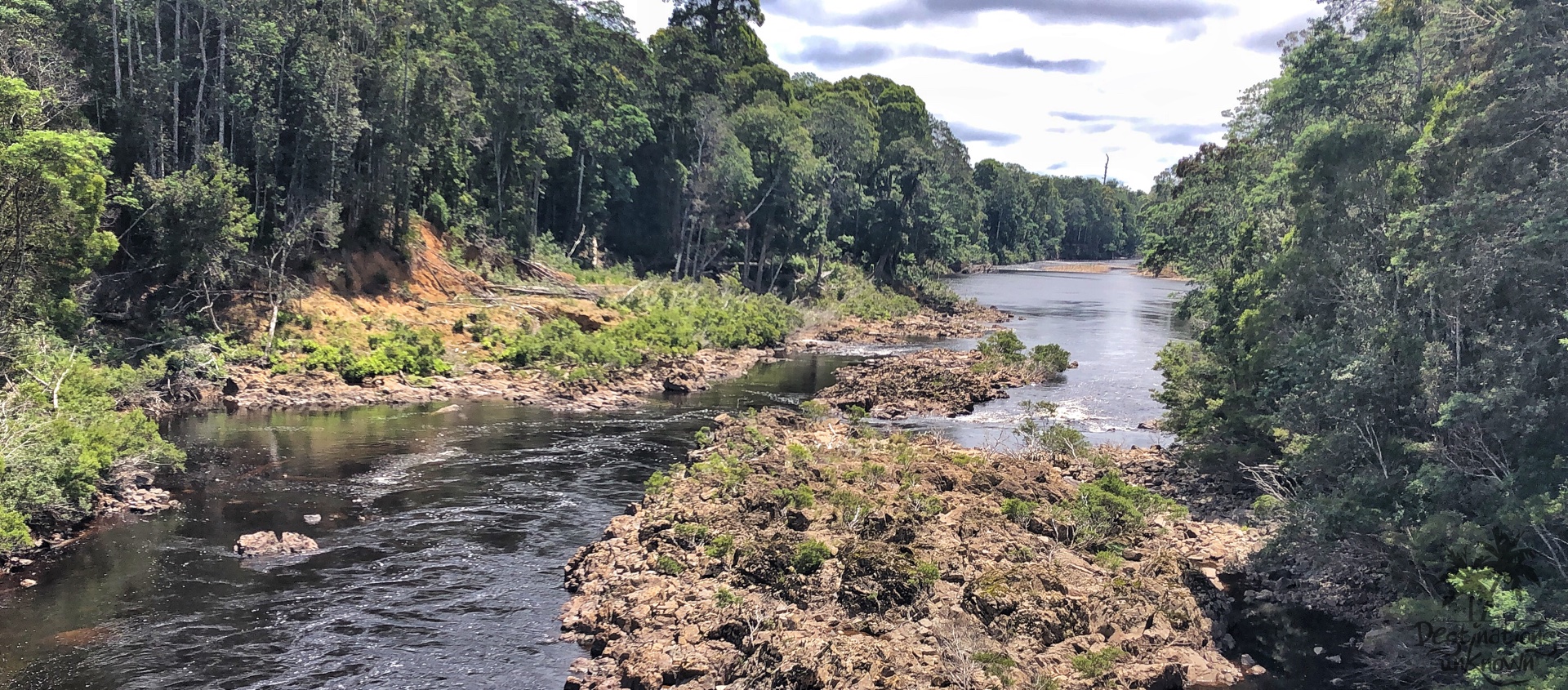
Sumac Lookout
In less than 15 minutes we were at our final stop for the day – Sumac Lookout. By now the kids had had enough of walking and were pleasantly surprised to find the lookout was less than a one minute walk from the car.
This brilliant platform is surrounded by rainforest and tall eucalypts and delivers sweeping views of the river and beyond.
I simply stood and soaked up the magnificence of what lay before me before we climbed back into the car to make our way back to Stanley.
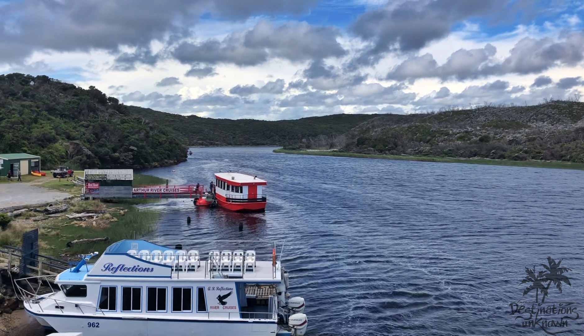
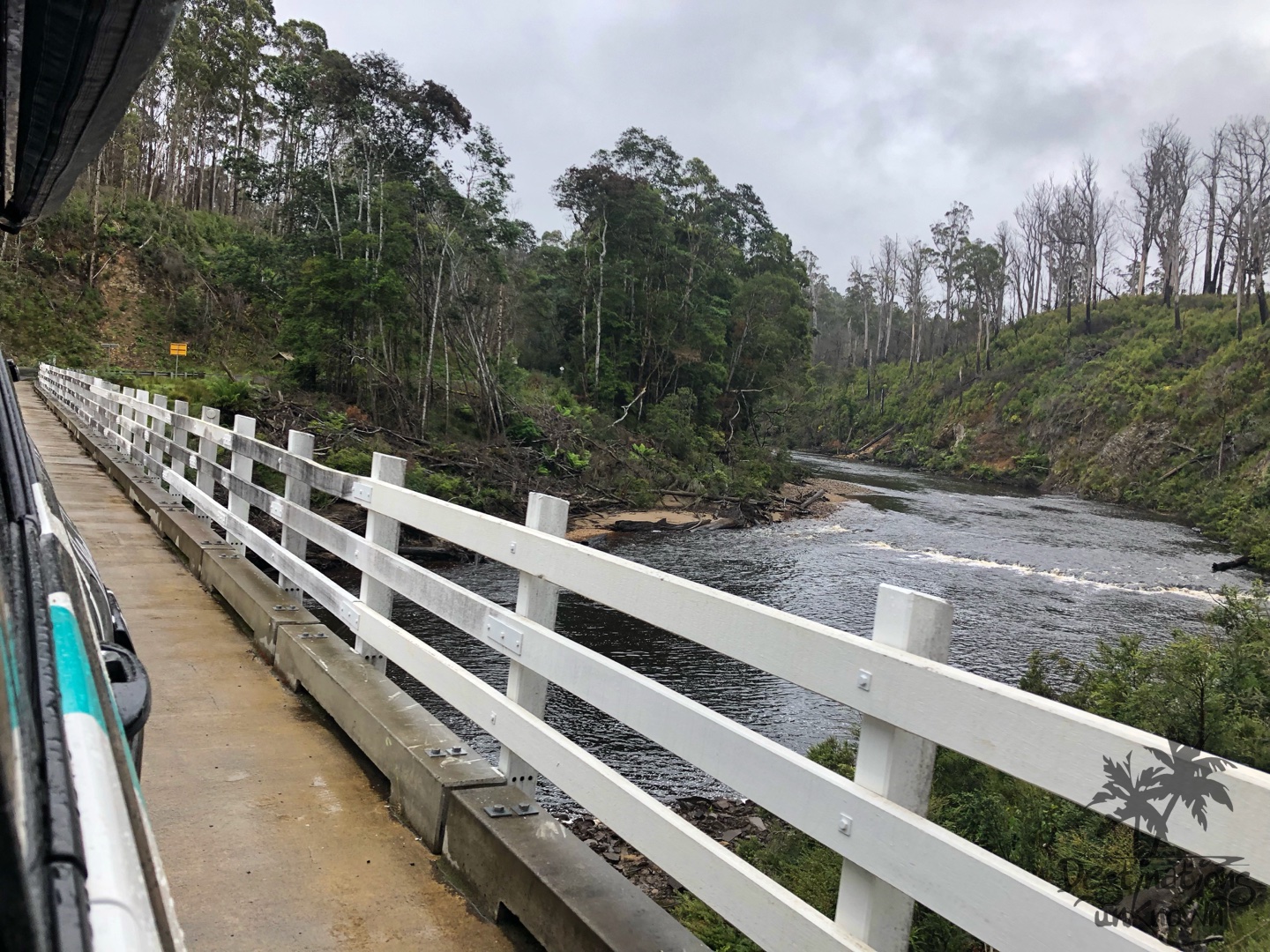
Arthur River
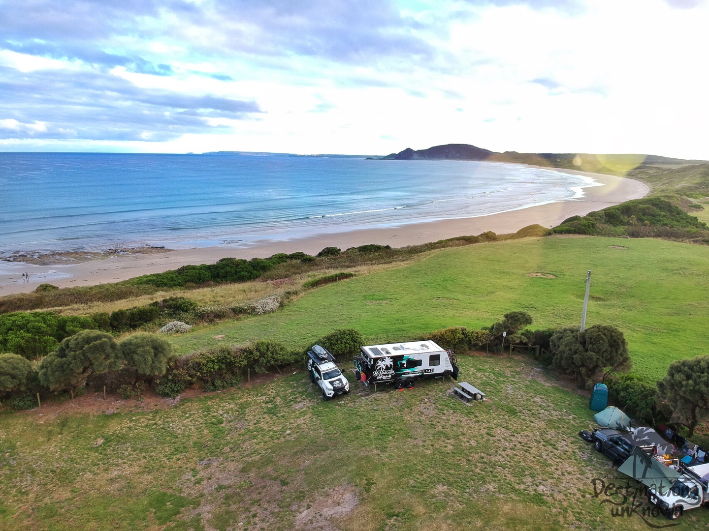
It took about half an hour to get to Arthur River from Marrawah, and what a cute little town this is! The 2 cruise boats were moored on the banks of the river making for that ‘wow moment’ as you wind down the road to the bridge. We explored various campgrounds as it was in our itinerary to spend the following night at a free camp here. There were so many places to camp it was incredible! We ended up changing our minds and spent 2 nights at our epic campsite in Marrawah instead.
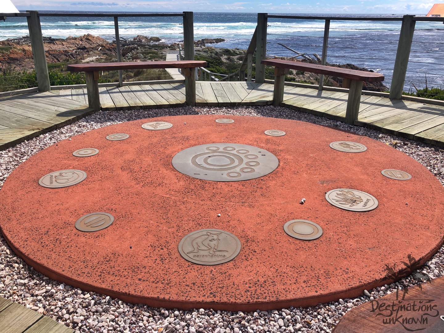
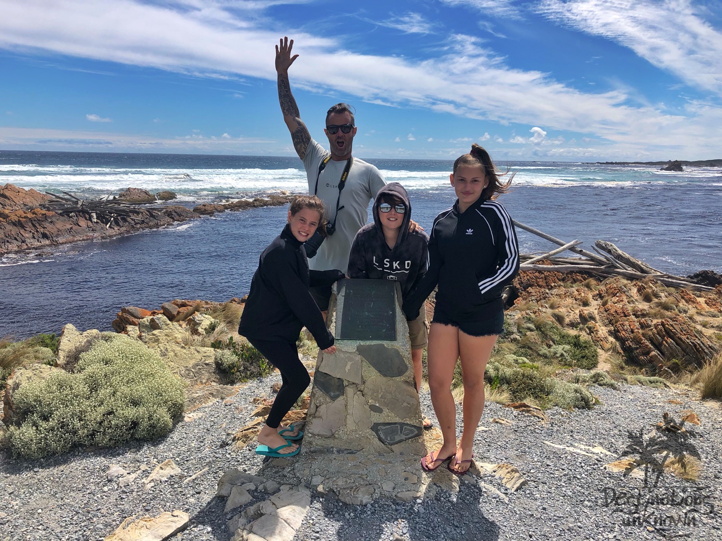
Edge of the World
Just after the bridge, we took the turnoff to the ‘Edge of the World’. Not many people can say they’ve been to the edge of the world, but we can! And it’s very windy. It’s also wild and beautiful and a must see when visiting Gardiners Point, Arthur River.
This rugged coastline, where the wild roaring forties (strong westerly winds) batter the coast from across the Great Southern Ocean really does make you feel like you are at the edge of the world.
Wind gusts of up to 200km per hour have been recorded here!
Here you can view a plaque where the words of Brian Inder explain it very well:
“I cast my pebble onto the shore of Eternity.
To be washed by the Ocean of time.
It has shape, form, and substance.
It is me.
One day I will be no more.
But my pebble will remain here.
On the shore of eternity.
Mute witness from the aeons.
That today I came and stood
At the edge of the world.”
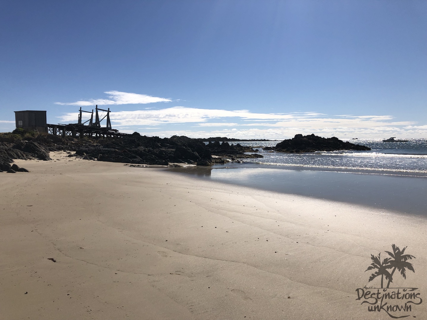
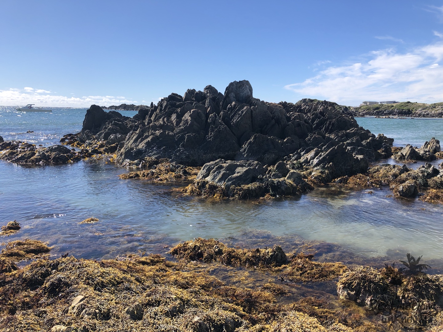
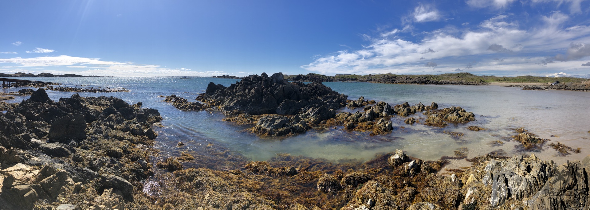
Couta Rocks
We all raced back to the car to take to shelter from the wind, and after attempting to settle our hair down, we went on to explore the coastline until we came to the fishing settlement, Couta Rocks.
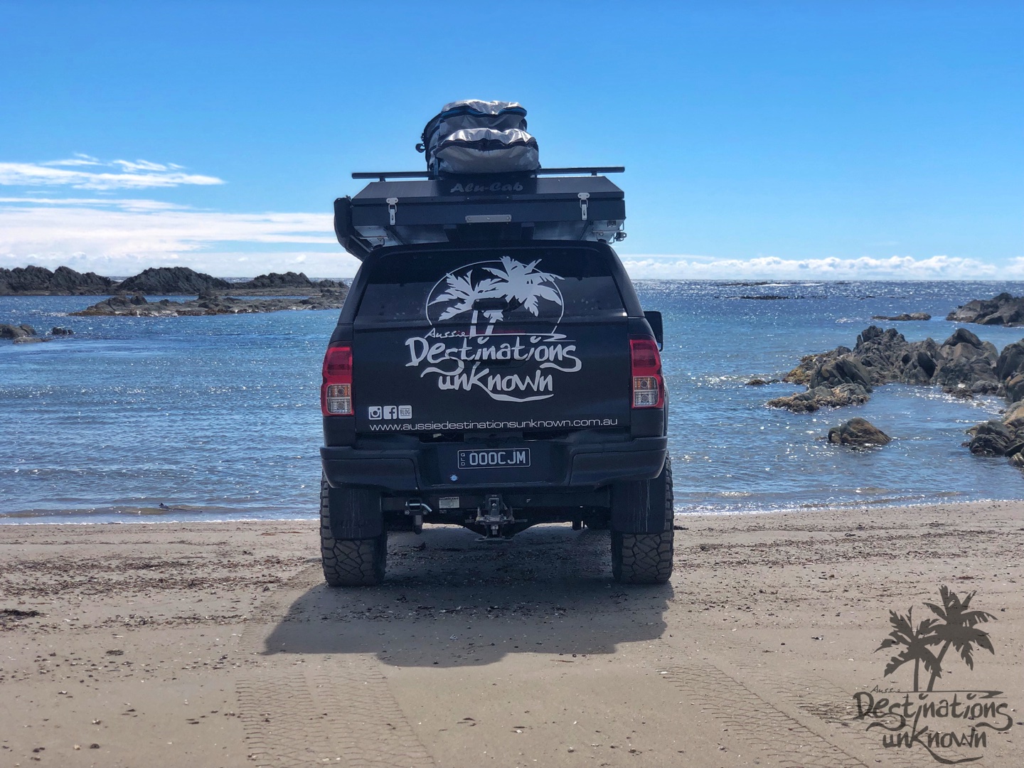
It is all breathtaking, but Couta Rocks is the place that really stood out to us as ‘wow’ … I’m pretty sure that word slipped from our lips more than once!
Turquoise waters, rocks jutting up out of both the ocean and the sand, smooth shiny shells, secluded and sheltered beaches, baby birds running around (it’s a bird breeding area) and next to no one else around by the waters edge.
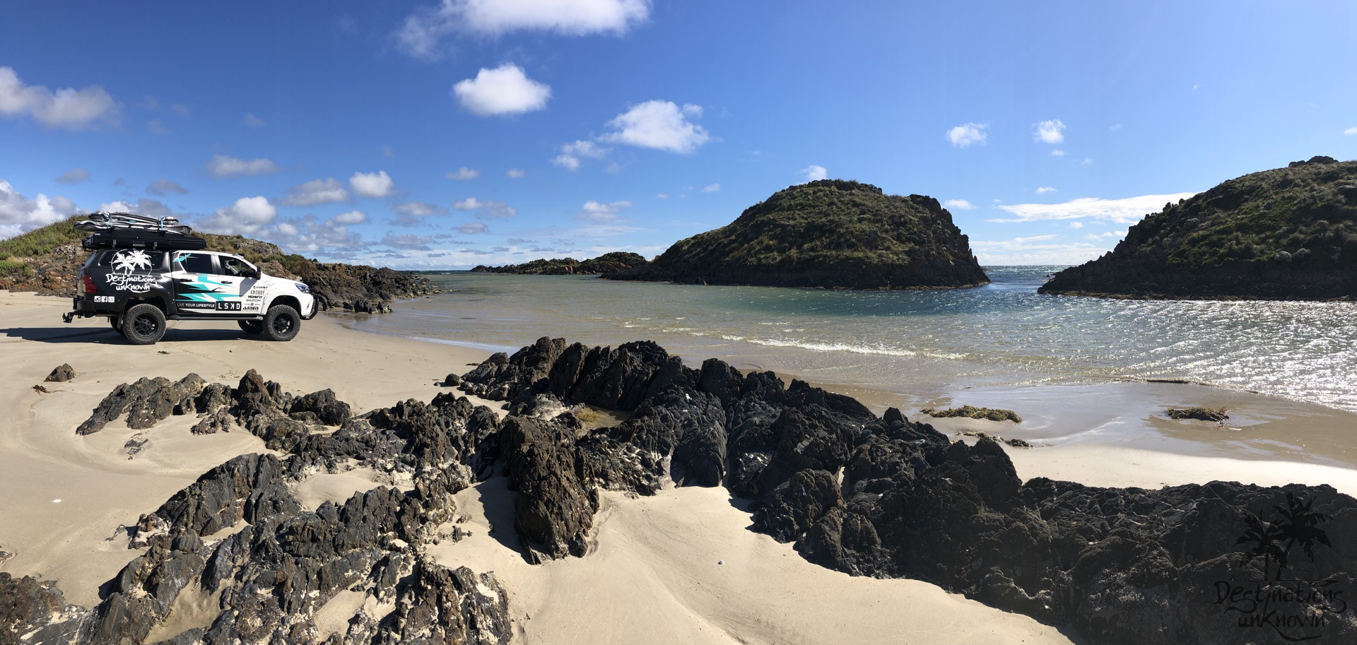
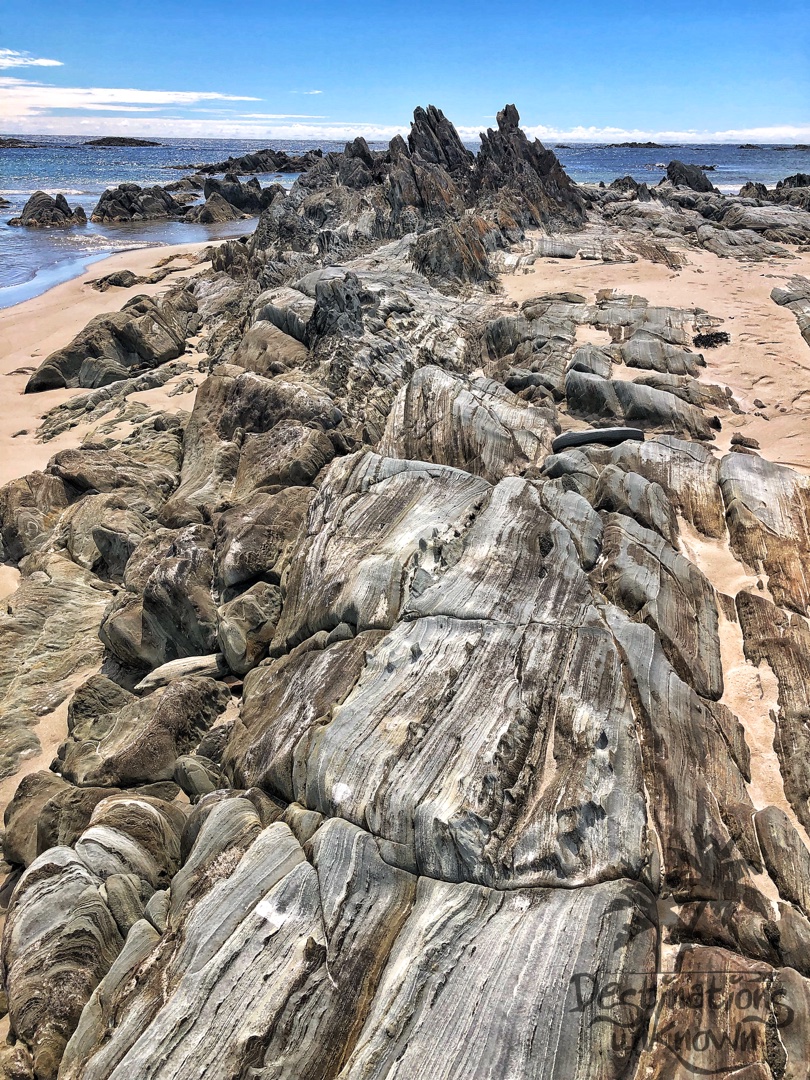
Everywhere you turn there is something incredible to see. Oh Tassie … if only you had warmer weather! The water looks so inviting, but don’t be fooled! It’s still icy cold.
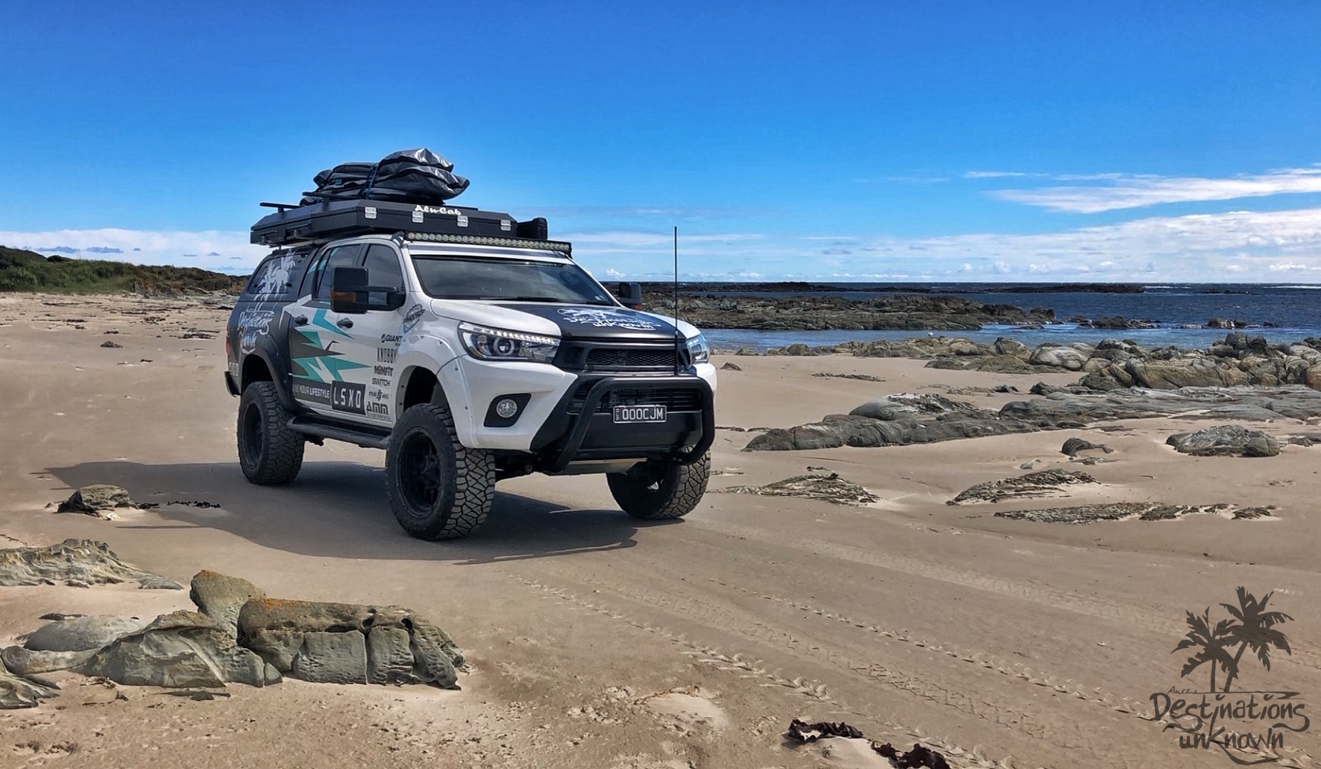
We love heading off the beaten track and into places relatively unknown just like this.
The Tasmanian wilderness on the North West Coast is a perfect example of how diverse, beautiful, rugged and virtually untouched Tasmania truly is.
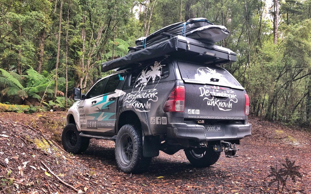
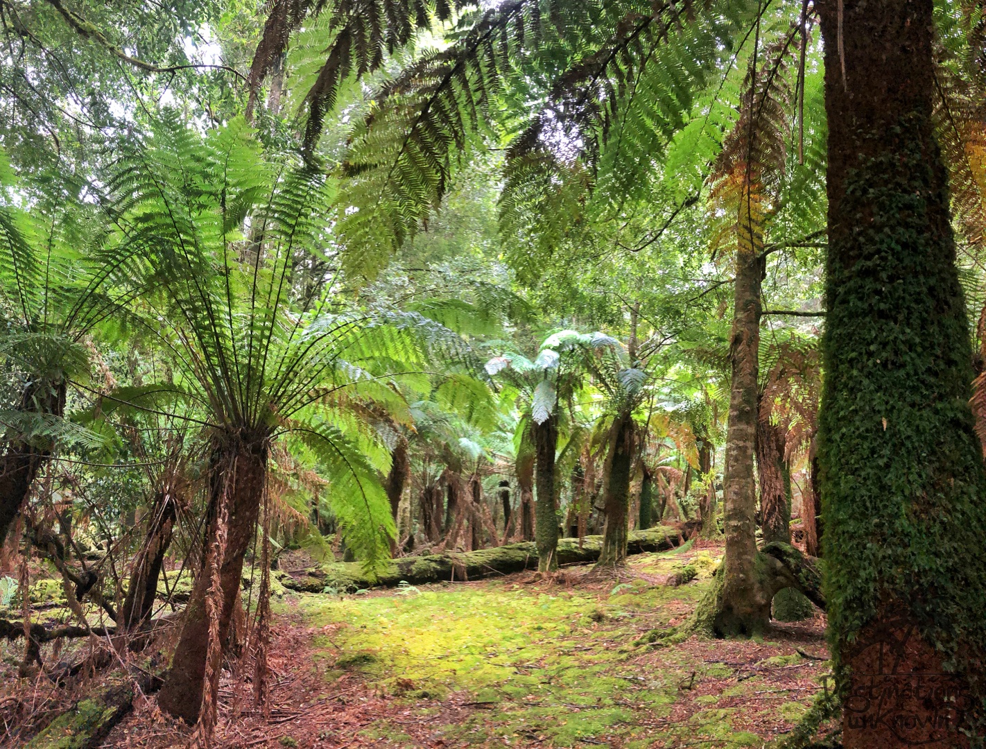
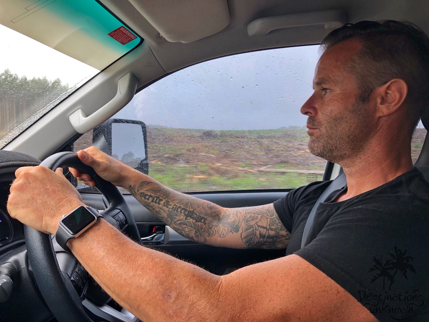
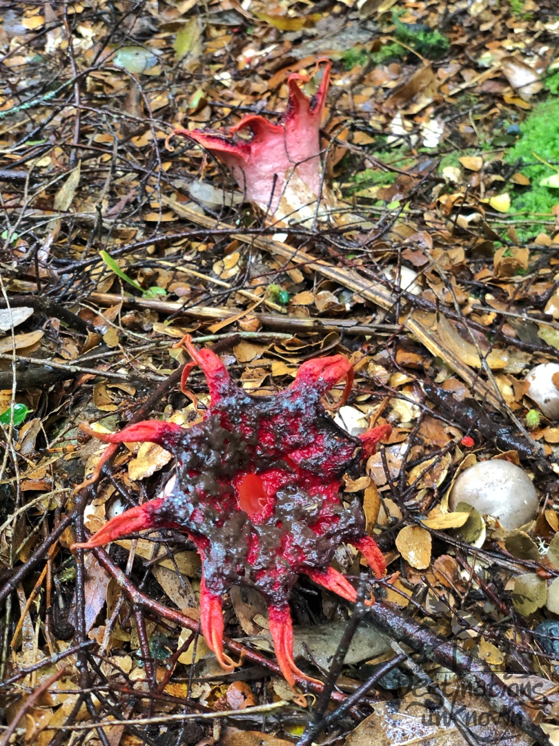
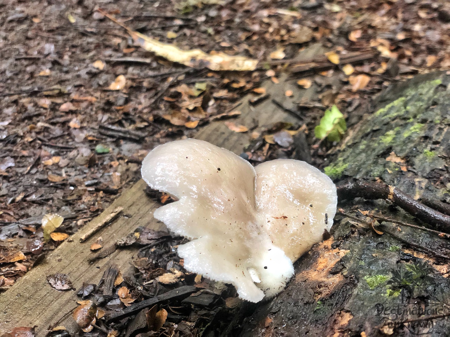
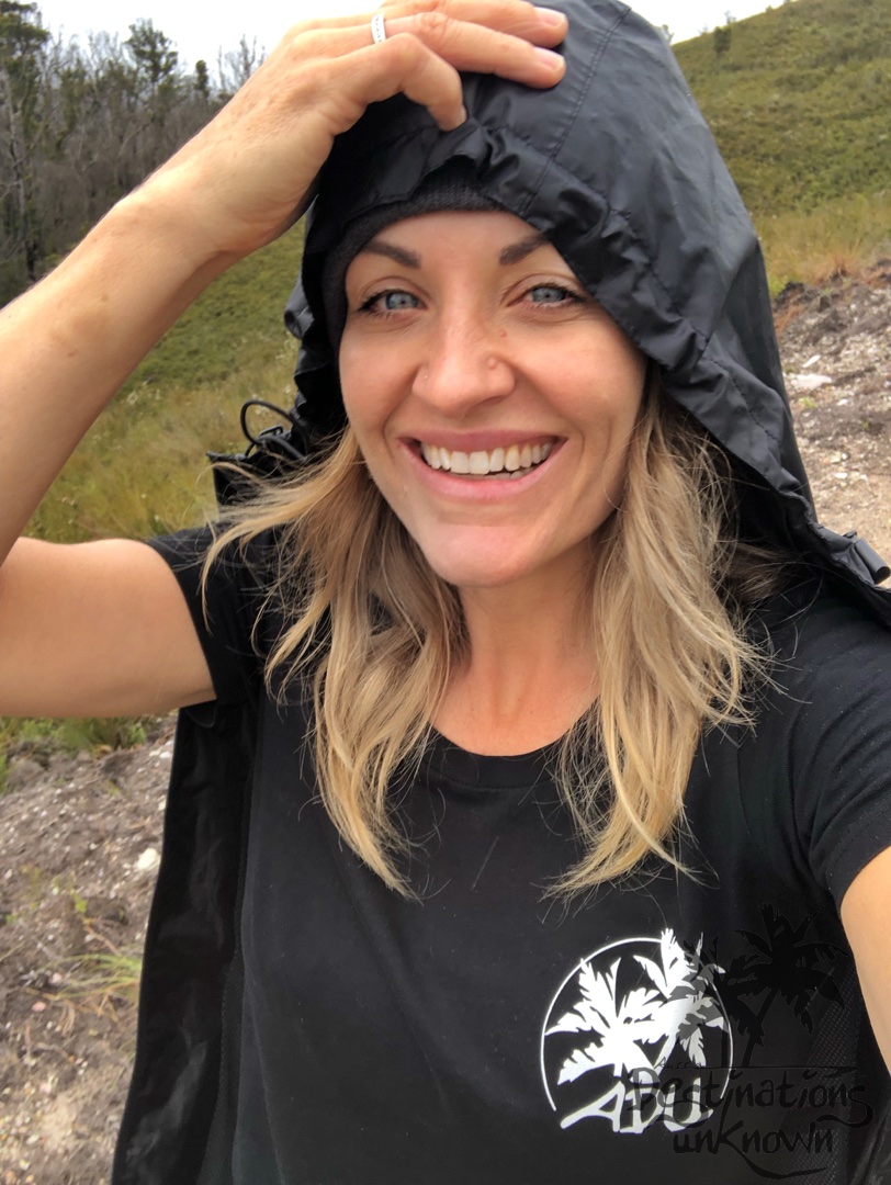
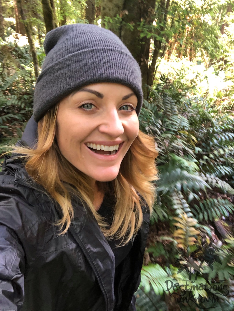
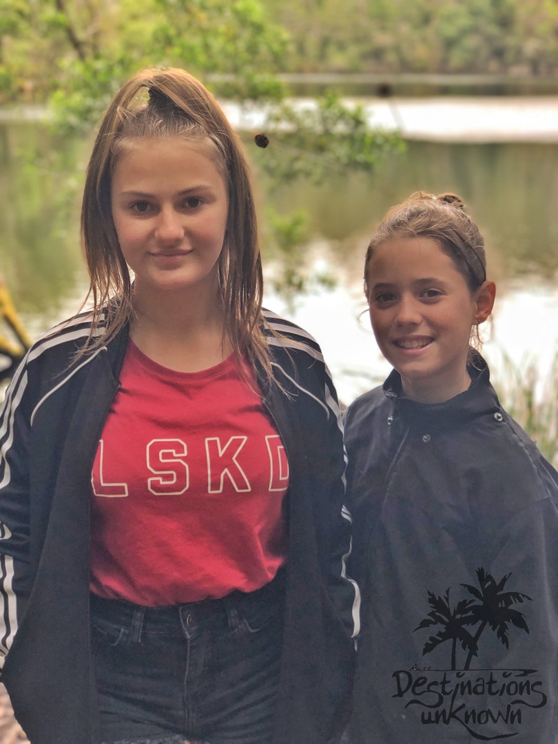
Random snaps from our Tarkine Drive
Inspiring blog – super. Thank you very much for the adventure-ideas in down under. We saw your camper trailer today on the campground.
Oh thanks so much! Please come and say hi if you see us again 🙂